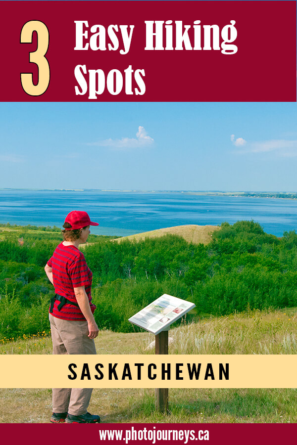
Saskatchewan abounds in great hiking trails that take you into the backcountry. But sometimes you want a short outing that’s relatively easy but that still takes you through some of the province’s top scenic natural areas. Here are three suggestions in Saskatchewan provincial parks that we always find rewarding. Each offers a different experience in a variety of landscapes.
The Battlefords Provincial Park
Situated on the shore of Jackfish Lake, The Battlefords Provincial Park is about 40 km north of The Battlefords on Hwy 4. It’s best known for golf, fishing, camping, and its beach, but it also has a gorgeous hiking area that has never been busy whenever we have visited.
The trailhead is along the main road on the way to the park’s core area. The trail network covers 14 km and consists of interconnected loops – the 1.1 km Cacti and Cranberries Trail, the 4 km Jackfish Loop, the 2.5 km Hillcrest Loop, the 1 km Prairie Grass and Grouse Loop and the 2.5 km Aspen Vale Loop. What’s especially nice is that you can choose a length of walk that best suits you. See the trail network on the park’s website.
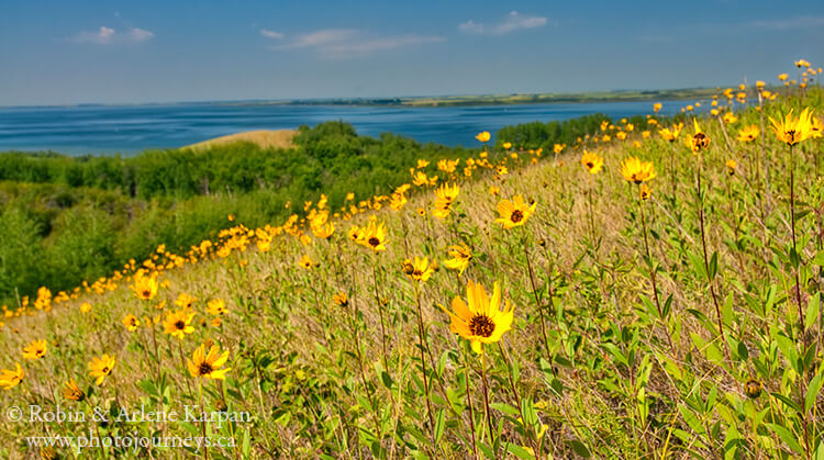
The trails take you through a variety of landforms such as wooded ravines, a natural spring, and rolling hills with excellent views over Jackfish Lake and the surrounding terrain. If your time is short, or if you’re not up to a longer walk, the views from the hilltops alone are worth the visit. When there has been ample rainfall, as there has been so far this year, the wildflower displays can be stunning.
Saskatchewan Landing Provincial Park
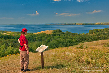
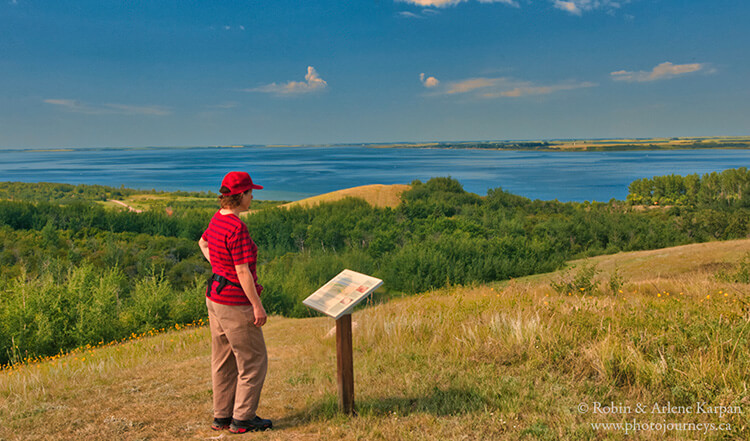
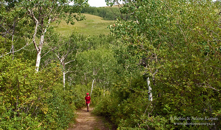
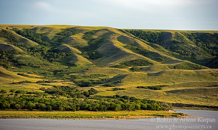
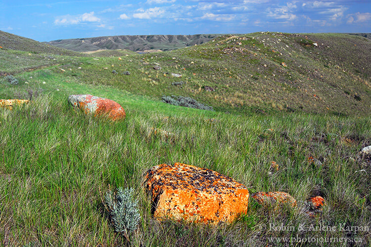
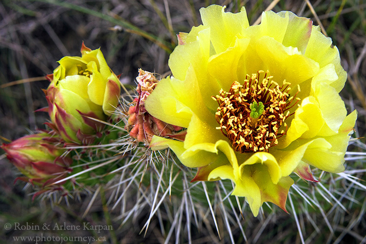
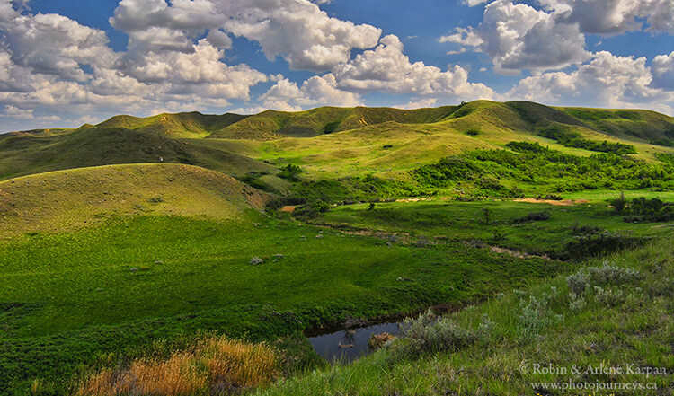
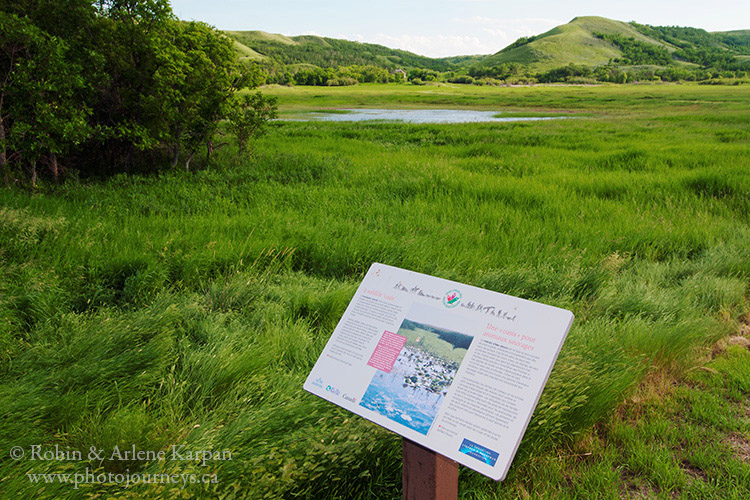
On the west end of lake Diefenbaker, Saskatchewan Landing Provincial Park preserves the rugged hills and ridges bordering the South Saskatchewan River Valley. This is one of the top places to get in touch with the wild natural prairie, with marvelous scenery, excellent wildlife habitat, and all visitor amenities close at hand. There are three marked hiking trails, however the open terrain makes it easy to simply wander in the hills and find your own route if you prefer.
If you’re staying at the campground and want a short walk, check out the Ridges and Ravines Trail which begins just across the road from the campground entrance. The 1.2 km loop starts along a ravine then gradually climbs into the hills overlooking the lake. Interpretive signs along the way point out the geological and geographical features of the park.
The 2.6 km Rings, Ruts and Remnants Trail concentrates on the history of the area, although the views along the way ain’t so bad either. Saskatchewan Landing has long been a natural crossing point on the South Saskatchewan River and has seen a lot of visitors. Tipi rings, ruts made by wagons, and remnants of early homesteads are all reminders of this rich past.
The Prairie Vista Trail and surrounding area is our favourite part of the park. To get there head west along the road from the historic Goodwin House which now serves as the park visitor centre. The main loop trail is just over 2 km but there is also spur trail to a great lookout point which is definitely worth doing. Open hillsides with sweeping views combined with a lush coulee, a stream and wetlands make for excellent wildlife habitat. This is a prime area for bird watching and photography. And it’s one of the best areas to simply explore as you see fit along Brunyee Coulee and adjoining Brunyee Ridge.
Nicole Flats Nature Area, Buffalo Pound Provincial Park
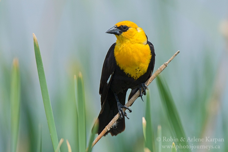
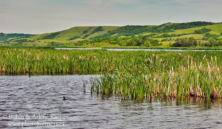
Buffalo Pound Lake is part of the beautiful Qu’Appelle River system with its combination of picturesque hills and broad river valley. On entering the park, turn right shortly after the main gate and follow the signs to Nicolle Flats Nature Area on the east end of the lake. This marshy area next to the river is one of the top spots in the Qu’Appelle Valley for bird life, so you can combine hiking with wildlife and great scenery.
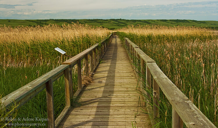
You can choose one or more trails or combine them in a round-the-marsh walk of about 8 km. The Dyke Trail along the north side of the marsh next to the river is part of the Trans Canada Trail (or The Great Trail). Not far from the trailhead is the Marsh Boardwalk which takes you into the heart of the marsh. (Note: the park website indicates that the boardwalk is currently closed, but hopefully this will be temporary.)
The 2.9 km Bison View Trail goes up the southern slope of the valley where you might see the herd of bison in the adjoining fenced paddock. In any event, it’s worth the walk just for the views. This is an especially nice area during fall colour season because of the varied colours in the wooded coulees. A bit farther east you can visit the site of the original Nicolle family homestead dating to the 1880s, nestled in a protected coulee. Just to the east of the marsh the trail follows the Moose Jaw River to its confluence with the Qu’Appelle River.
Yet another option is to access the eastern end of the trail system at a trailhead on the road system east of the park. This is especially handy if you want a shorter walk to areas such as the Valley View Trail, the confluence of the two rivers, or the Nicolle Homestead. The beauty of the area is that it’s easy to tailor your hikes to your liking.
For more details go to the Saskatchewan Provincial Parks information on Tourism Saskatchewan.
SUBSCRIBE to Photojourneys below
Feel free to PIN this article