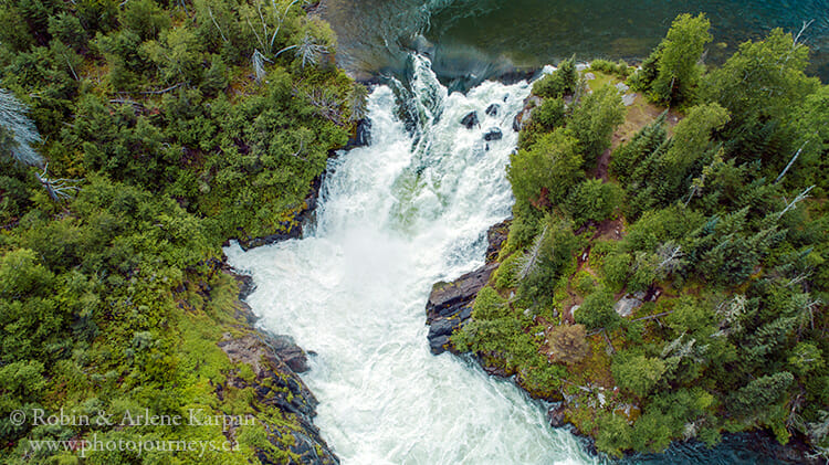
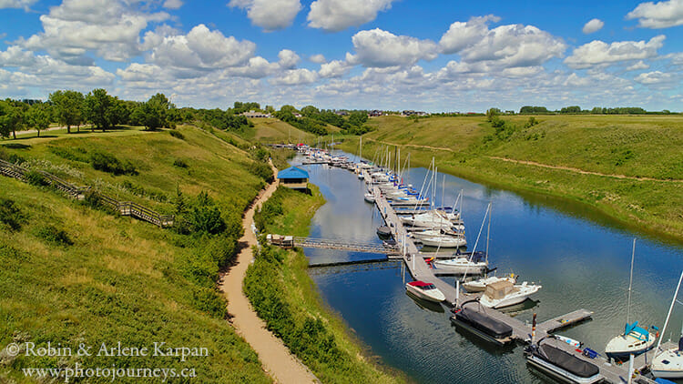
Drone photography is soaring in popularity and it’s easy to see why. We’re no longer restricted to seeing things from ground level, or finding a high spot for that grand panoramic shot.
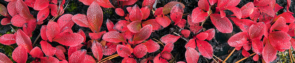
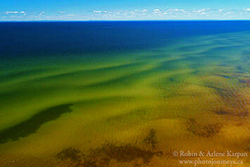
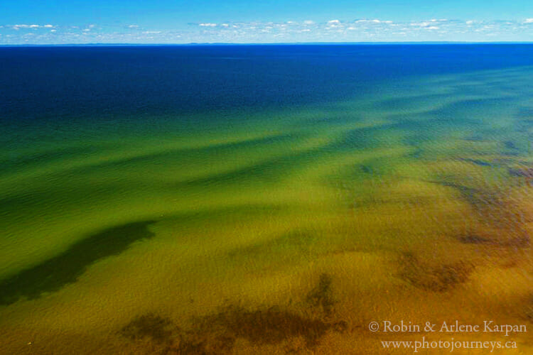
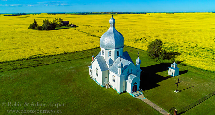
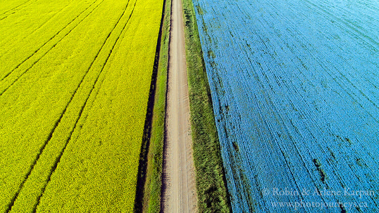
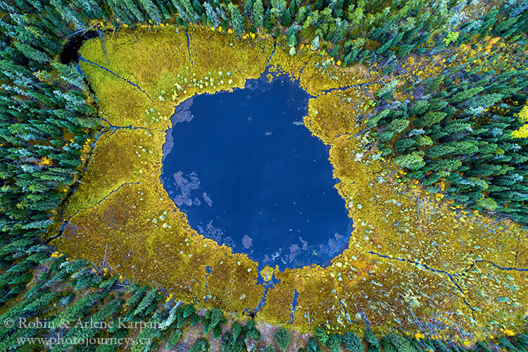
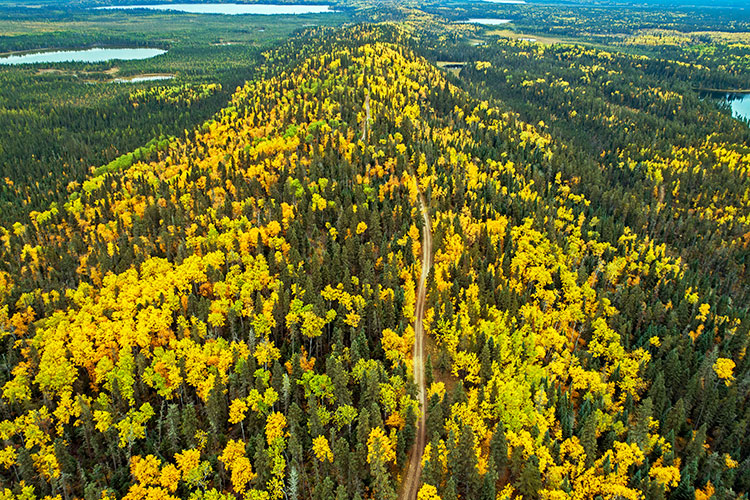
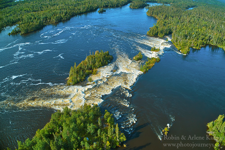
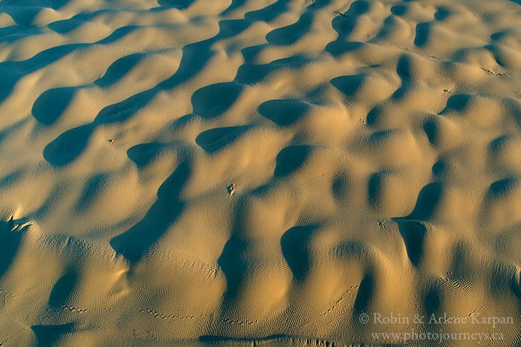
Can’t quite get the photo you want because the trees are in the way? No problem; the drone can take the camera above them. Photographing scenes with the camera pointed straight down opens up a whole new set of artistic possibilities.
Unlike other types of photography where we simply buy a camera and start snapping, to use a drone we first have to jump through a few hoops. In Canada, those hoops are courtesy of Transport Canada. If your drone is between 250 grams and 25 kilograms (most are), you have to get a drone pilot certificate and register the drone with Transport Canada ($5 fee).
Getting Your Pilot Certificate
For the pilot certificate, Transport Canada recommends attending a drone flight school, but it’s possible to simply take the exam online on the Transport Canada website for a $10 fee.
For a pilot certificate for basic operations, all that is required is scoring at least 65 percent on the exam. For a certificate for advanced operations (allowing you to fly more places and with fewer restrictions), both an exam and a flight review at a drone flight school are required.
We wouldn’t call the basic exam difficult, though it certainly isn’t easy either. A few questions are common sense, but many deal with technical terminology for weather phenomena or obscure aeronautical regulations that may not even be related to drone flying.
Fortunately, the exam is “open book,” so you have free access to any relevant websites to look up information during the exam. The challenge is the 90-minute time limit, and some questions take a lot of digging to find the answer. So it’s important to have all the regulations and other material recommended by Transport Canada close at hand to save time.
By the way, little is gained by asking a buddy who took the exam what the questions were. Transport Canada has a revolving set of several questions, so today’s exam might have different questions than yesterday’s exam.
Know the Regulations
Once approved for flying, we have to abide by Transport Canada regulations, such as keeping the drone in view, and not flying in controlled airspace, near airports, or over bystanders. Several jurisdictions have additional regulations. Drones are not allowed in national parks, for example. Nor are they allowed in Alberta provincial parks, yet parks in some provinces don’t have restrictions beyond those stipulated by Transport Canada. Most urban areas are off limits.
Since regulations vary, it’s always best to check on local rules before flying.
The long list of restrictions hasn’t affected us too much, since we’re mainly interested in photographing in rural and remote areas.
Deciding Which Drone to Buy
Choosing a drone to buy isn’t easy because of the number of choices available. They range from models that are little more than toys to sophisticated machines with cameras capable of taking top-quality images. Technology is changing so fast that it’s difficult to keep up.
The good news is that while the quality has been increasing, prices have been coming down as well. You can spend anywhere from a few hundred dollars to several thousand. To narrow down the choices, compare the features and read several reviews.
Try out your new drone in an open area with few obstructions until you get used to how to handle it. More expensive models usually have collision avoidance systems so you don’t accidentally fly into a tree, while cheaper models may not.
Once you’re comfortable with how it operates, the sky is the limit.

SUBSCRIBE to Photojourneys below
Feel free to PIN this article
Great photos you two.
If at the time I had a drone when doing our two books on stone buildings and churches, it sure would have added another perspective or as you said a new dimension.
Thanks for this.
Larry
Thanks Larry – we’re glad you enjoyed the article.