All photos © Robin and Arlene Karpan
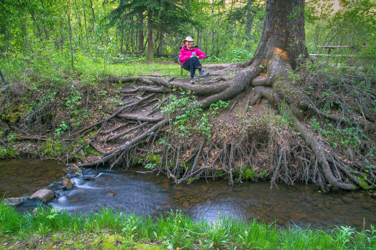
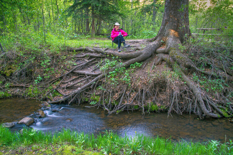
Pine Cree Regional Park is a surprising oasis in southern Saskatchewan. While it is in the midst of southern grasslands, it almost seems like you’re in the northern boreal forest surrounded by huge spruce trees. It’s this mix of landscapes that gives the park its special appeal. It ranks among our favourite places to camp in southern Saskatchewan.
The park is located in the eastern part of the Cypress Hills, about 13 km east of the town of Eastend, and about 32 km west of Shaunavon. If you’re approaching from the Trans Canada Highway, it’s about 50 km south of Tompkins.
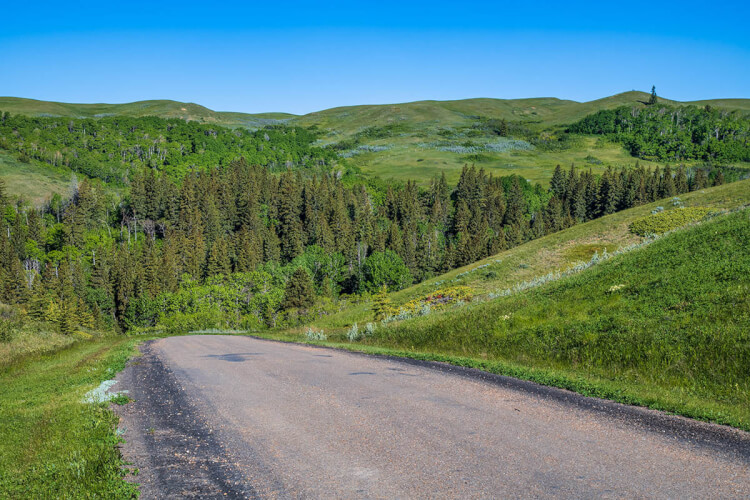
The entrance and campground are not visible until you drive down into a deep coulee 100 metres below the surrounding prairies. The main feature is Swift Current Creek which meanders through the valley. These are the headwaters of the creek that picks up steam farther on as it flows through the city of Swift Current and eventually to Lake Diefenbaker. The name originates from the Cree who used to camp in the protected area among the “pine” trees that are actually spruce.
A Natural Environment Park
Pine Cree claims to be Saskatchewan’s only true natural environment regional park, and that’s what we like about it. Some parks get carried away with “modernization” by adding so many amenities that they end up resembling urban enclaves rather than natural areas.
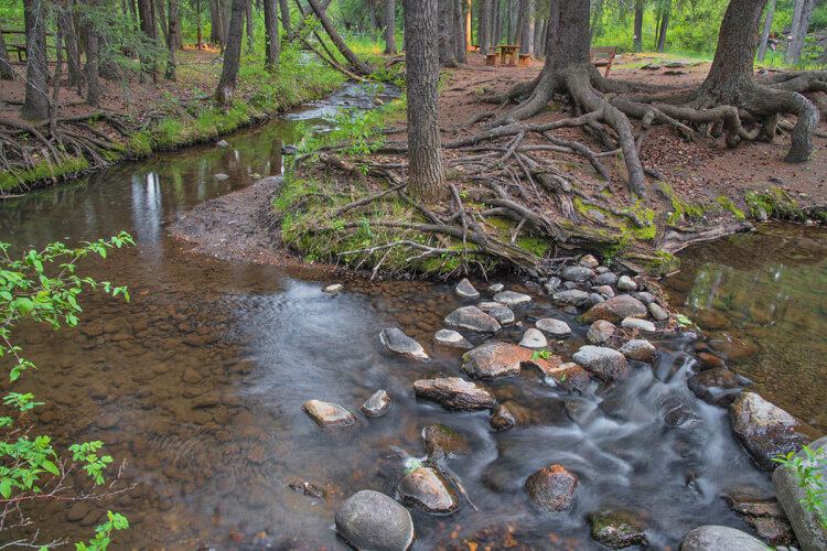
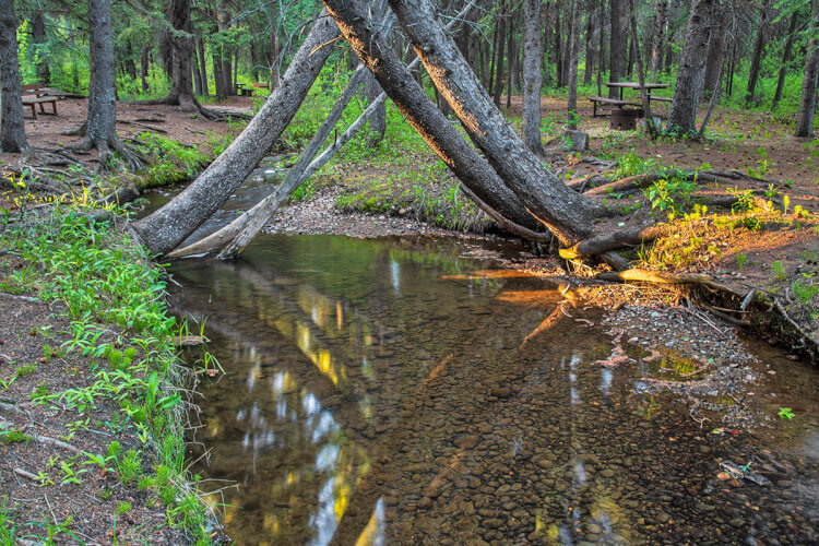
Here they have decided to keep things simple. There is no electricity, shops, or running water (other than the creek). However, there is a supply of potable drinking water in a large tank. You can’t reserve ahead, and payment for camping fees is cash only. Cell service is poor or nonexistent unless you head out of the campground towards the main road. There are a couple of kitchen shelters and a playground for the kids. Camping units can’t be longer than 28 feet or over 3 tons (they wouldn’t make it down the steep roads and across the narrow bridges anyway).
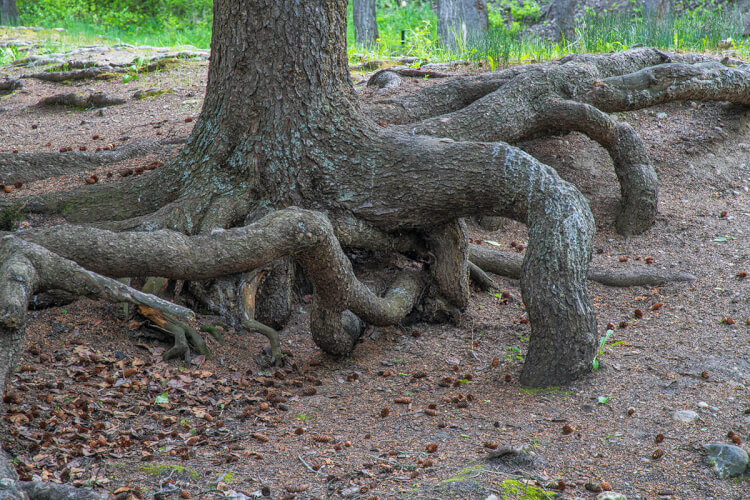
Rather, the emphasis is on enjoying nature. Most of the 27 campsites are along the creek. It’s a great place for wildlife, attracting a wide array of birds such as mountain bluebirds, great horned owls, common poorwills, and pink-sided juncos. One time when we camped here, a moose ambled by in the early morning.
Wildflowers galore
The park is exceptional for wildflowers, especially in years when there has been a lot of rainfall. Our most recent trip to the park was in early June of this year when conditions were ideal because of the ample moisture. With the mix of prairie and forest, we found flowers from both habitats.
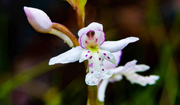
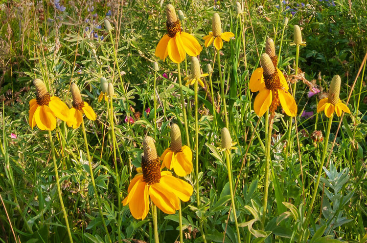
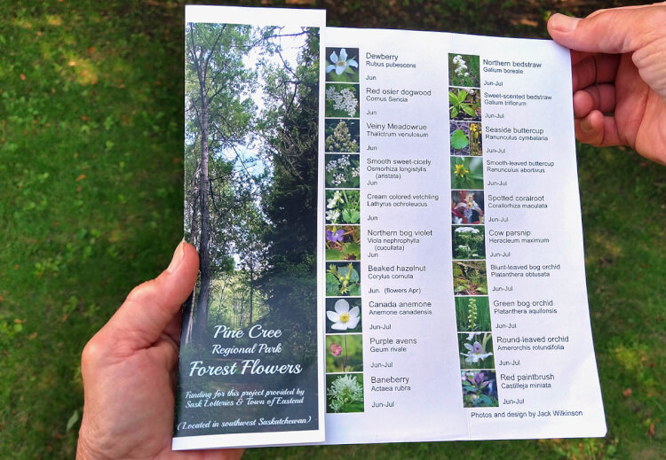
The park has wildflower brochures with colour photos that you can pick up and take on your walks. Of special note are the wild orchids, some of which are fairly rare. Our favourite is the delicate and colourful round-leaved orchid. It was at Pine Cree where we got our best photo of this species.
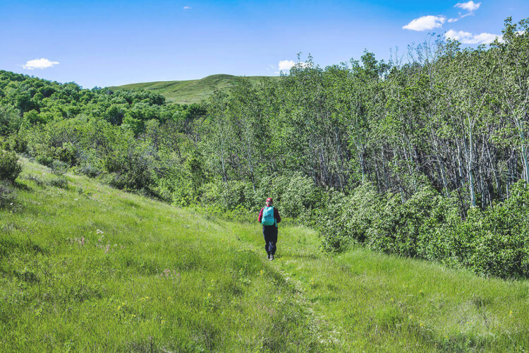
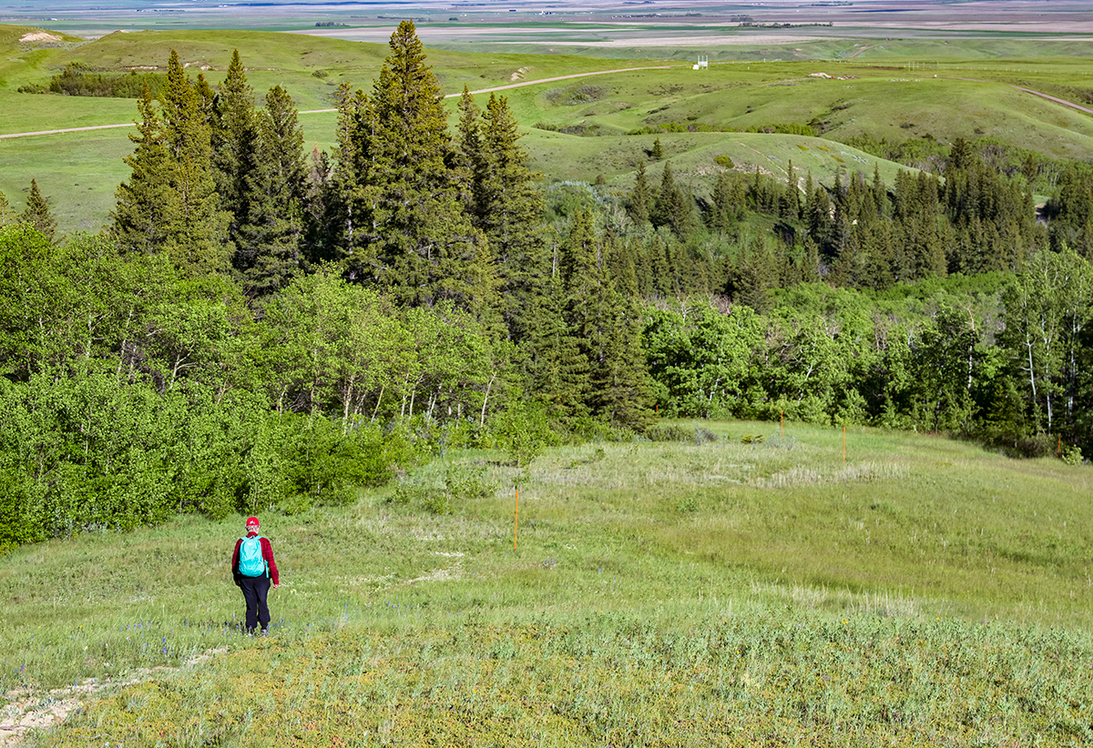
There’s a wonderful hiking trail called the Top of the World, so named because it goes up to the highest hills overlooking the park. Wildflowers thrive in both the forest and open grasslands, and colours change throughout the season. Be prepared for a good workout to get to the top.
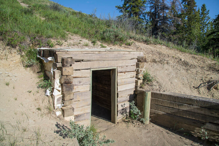
An oddity in Pine Cree is the Hermit’s Cave – a small room carved into the side of a hill. The story goes that it was built by a reclusive geologist in the 1960s who lived there even in winter. One day he simply left and wasn’t heard from again. If you want to live the life of a hermit, you could do a lot worse than this pleasant valley.
Getting to Pine Cree
From the nearest town of Eastend, the most straightforward way to get to Pine Cree is to head east on Highway 13, then north on Grid Road 633. But there’s an alternative route that we like better that is more scenic and only marginally longer. On the east edge of town, turn north onto Chimney Coulee Road. As the name suggests, it leads to Chimney Coulee, an historic site that was everything from an early Hudson’s Bay Company post to a Mounted Police Post, Metis settlement, and ranch.
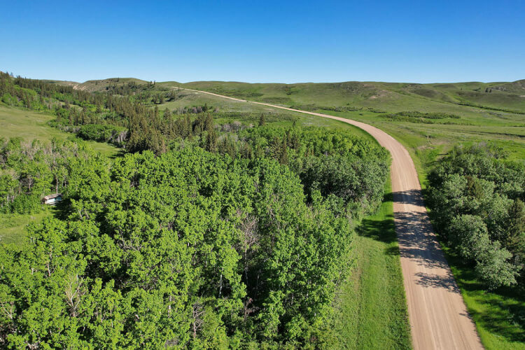
Keep going north on the rollercoaster road for another 8 km then turn east. This lonely road through rolling pastureland is known as Baker Coulee Road and it ends after about 5 km at Grid Road 633. The park entrance is about 3 km south of here.
We have more ideas for scenic drives in the Pine Cree / Eastend area in our book Saskatchewan’s Best Scenic Drives. You can order the book from our publishing website Parkland Publishing.
SUBSCRIBE to Photojourneys below
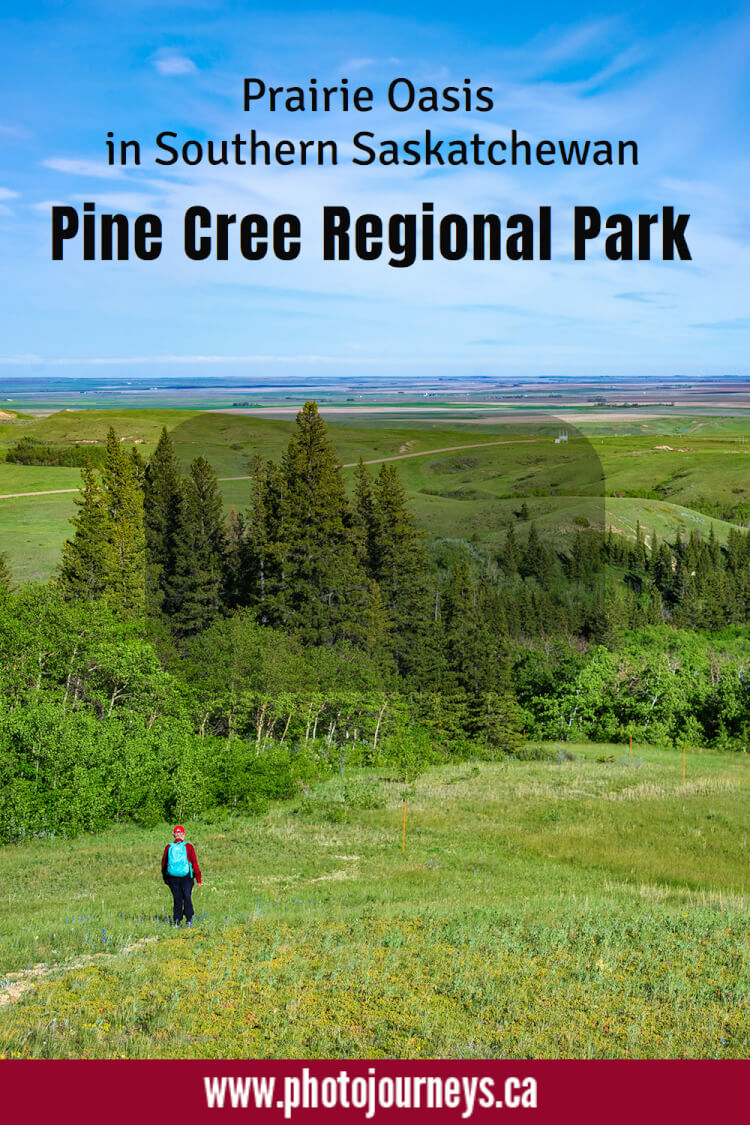
Feel free to PIN this article on Pine Cree Regional Park for later


Gorgeous photos and information about the park. Thank you.
Thanks Susan. We’re glad you enjoyed the Pine Cree Regional Park article.
Nice Photos.
Thanks for your comments Vernon. We’re glad you enjoyed the post.