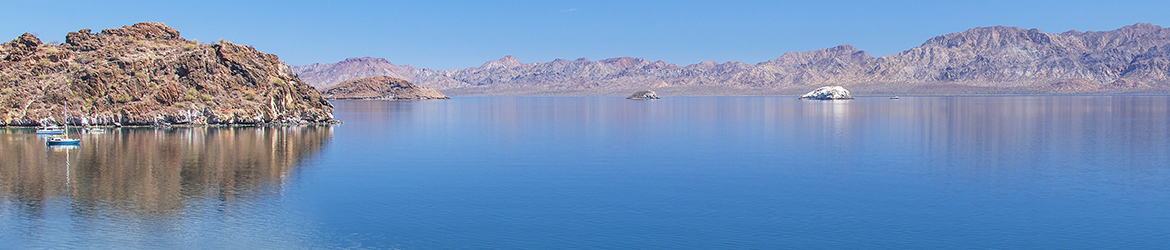

Lake Superior Provincial Park covers a huge piece of land long the lake’s east shore between Wawa and Sault Ste. Marie, Ontario. In 1960, this was the last place in the country to complete the Trans Canada Highway because of the challenge of finding a suitable route through the difficult terrain. Driving that stretch today serves up one panoramic view after another.
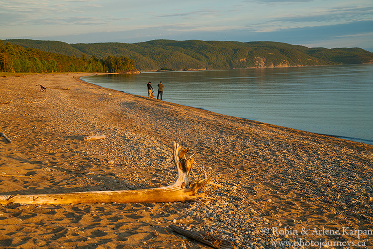
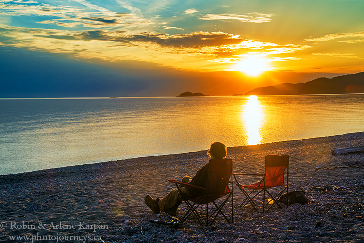
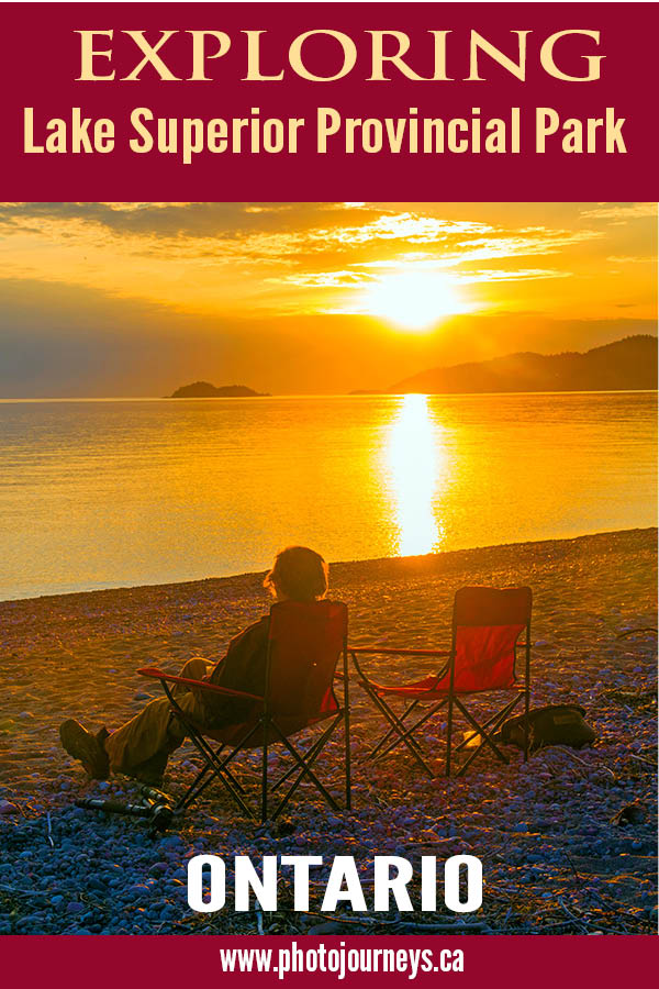
The park is an outdoor paradise with canoe routes, beaches, camping, scenic viewpoints, and hiking trails galore. There are two road-accessible campgrounds in addition to backcountry camping. In the north part of the park, Rabbit Blanket Campground is next to an inland lake with a small beach. Farther south, Agawa Bay Campground sits right on the Lake Superior shore, with most of the sites having a view over the lake’s 3 km-long beach. When the weather is pleasant, as it was during our stay, this is a beautiful spot to be.
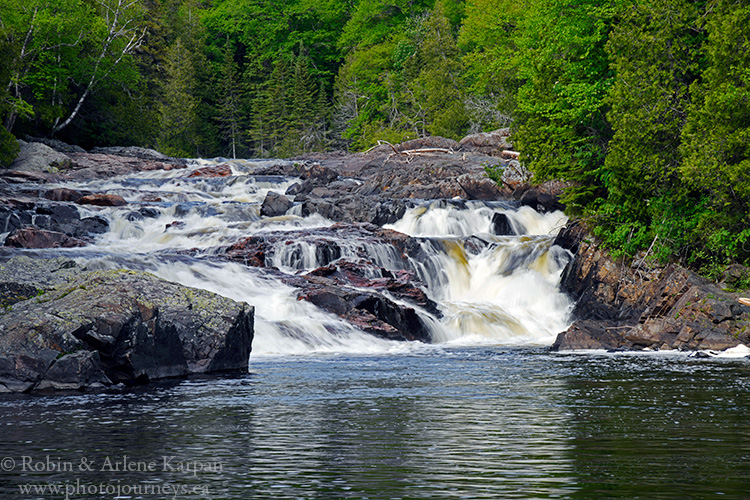
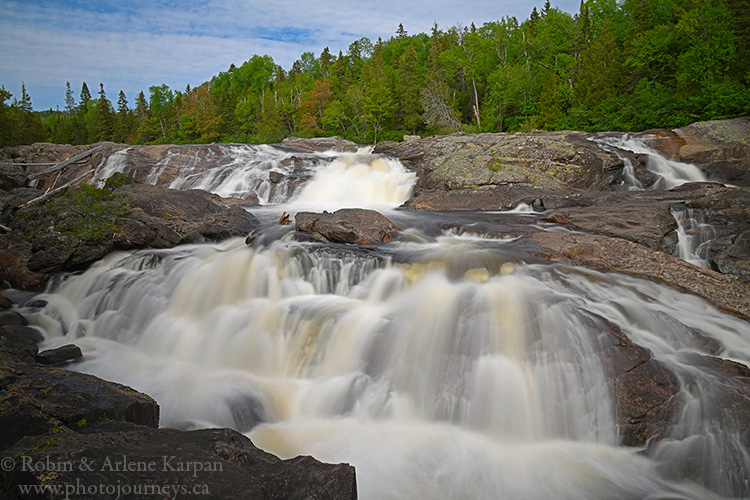
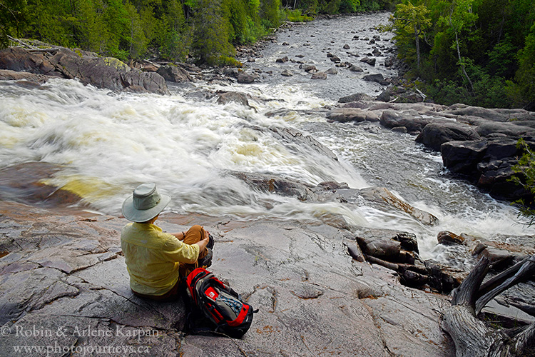
The park’s 11 hiking trails include everything from rocky shores to lakes, cliffs, rivers and waterfalls. They range from easy strolls to demanding multi-day excursions. We especially like the Sand River Trail, also called the Pinguisibi Trail, past a series of impressive rapids and waterfalls. The 6-km hike following the river is easy for the most part, though there are a few steep sections that could be slippery when wet. This river used to be a major travel route for the Ojibway, and today is a popular canoe trip, with a lot of portaging.

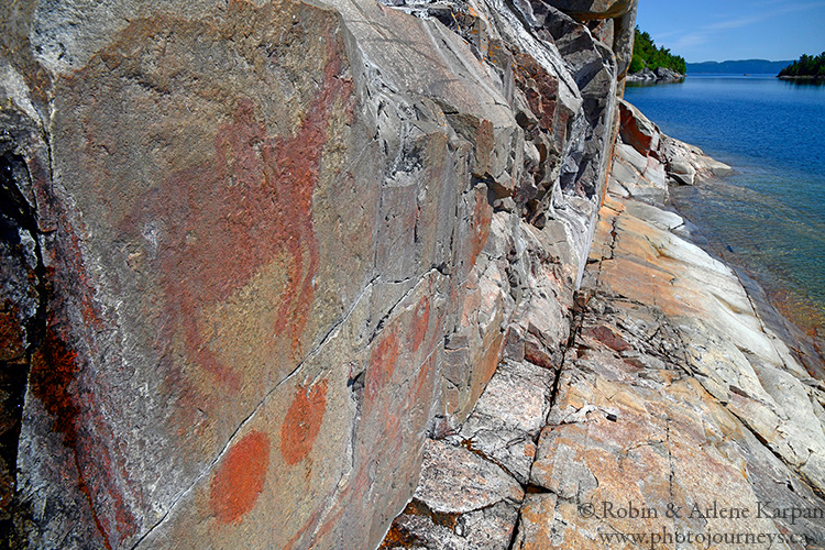
Agawa Pictographs
It looks like we picked the perfect day to visit. The lake is quiet and peaceful as we take the short hike to the park’s top attraction, the renowned Agawa Pictographs on a cliff face at the water’s edge. It’s one of the most famous and most visited ancient rock painting sites in Canada, and the only one on Lake Superior that you can reach on foot. But only if the lake cooperates.
The short but rugged trail takes us on a descent of about 30 metres over boulders and through rocky chasms. Once we arrive at the water’s edge, it becomes apparent why the water must be calm to venture onto the narrow slope at the base of the cliff to see the paintings. Even though it’s dry, it’s hard to keep from sliding on the smooth ledge. So we take off our hiking boots and go barefoot, which provides just the grip we need to keep from slipping into the frigid lake.
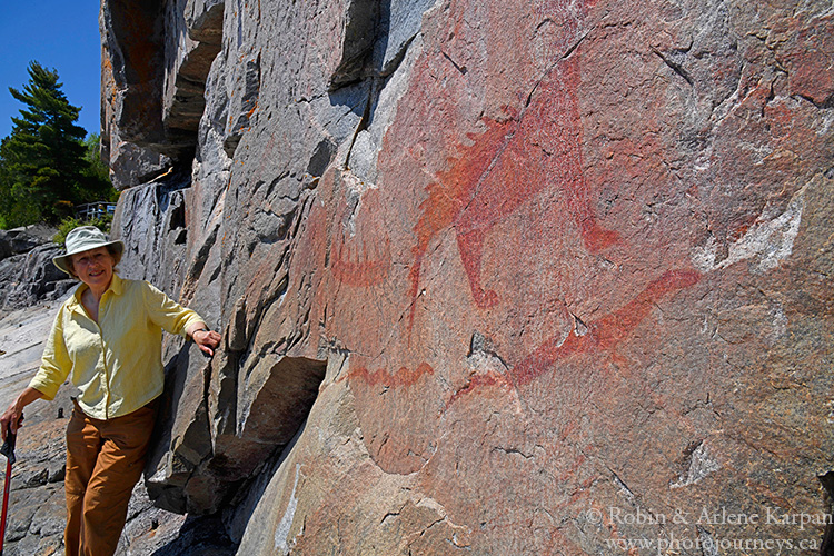
We then come face to face, quite literally, with these mysterious messages from the past. The vibrant red ochre images are thought to have been painted by Ojibway artists between 150 and 400 years ago. Some portray recognizable animals such as moose, bear and caribou, or familiar items such as canoes. Then there are serpents and legendary creatures with horns and spines. One is thought to represent Misshepezhieu who could calm the waters or bring storms by thrashing his powerful tail.
No visit to the park is complete without a stop at the impressive Visitor Centre. It has everything you might want to know about Lake Superior, from the geology to flora and fauna, cultural history, the influence of the Group of Seven painters, and canoeing the Sand River. One exhibit tells the story of the wreck of the Edmund Fitzgerald, the Great Lakes freighter that sank in a fierce Lake Superior storm, made famous by the Gordon Lightfoot song.
Everything about Lake Superior is big – the world’s largest lake, holding about 10% of the world’s surface fresh water. A small though intriguing interactive display really helps to put this in perspective. The model includes all of the Great Lakes, but only Lake Superior is filled with water. You tilt the model so that the water drains from Lake Superior into the other lakes. All of the other lakes fill with water, with a lot left over. No wonder they call it Superior.
For more information see Lake Superior Provincial Park on Ontario Park’s website.
SUBSCRIBE to Photojourneys below
Feel free to PIN this article on Lake Superior Provincial Park
Would you do a two day photo tour of Lake Superior Provincial Park in late July/early August? If so, what would be the cost?
Larry Shirer
Thanks for your comment Larry. Sorry, but we don’t do tours of that area. Perhaps someone in the park could give you suggestions of local people who can take this on. Good luck – we really enjoyed visiting the park and area.