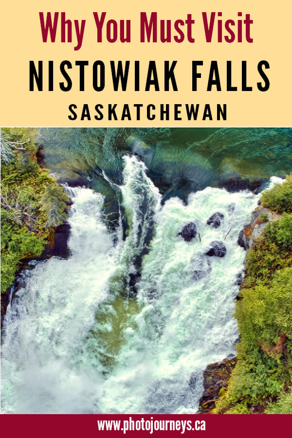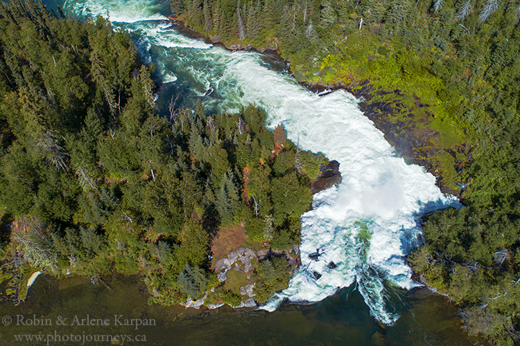

Nistowiak Falls is the most famous waterfall in Saskatchewan, both because of its beauty and its accessibility. Several wonderful waterfalls dot northern Saskatchewan (see our post Saskatchewan’s Most Magnificent Waterfalls), though many take a bit of effort to reach. Nistowiak, on the other hand, is less than 20 km from the end of the road at Stanley Mission, making it enjoyable and fairly easy to reach by canoe down the legendary Churchill River. Most of the route lies within massive Lac La Ronge Provincial Park. If you’re not prepared to travel on your own, another option is to arrange a trip with a local outfitter or tour operator (contact Tourism Saskatchewan for options).
Historic Stanley Mission
The community of Stanley Mission sits on the banks of the Churchill River about 80 km north of La Ronge. If you’re planning an overnight or longer trip, stop at the Northern Store in town to arrange for safekeeping of your vehicle.
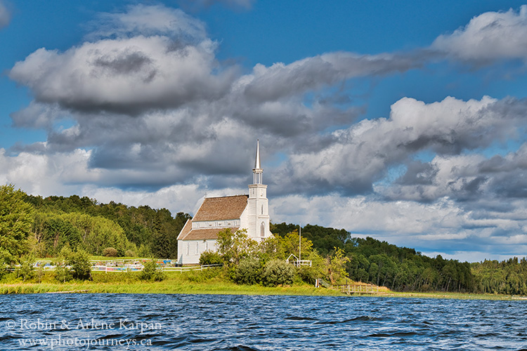
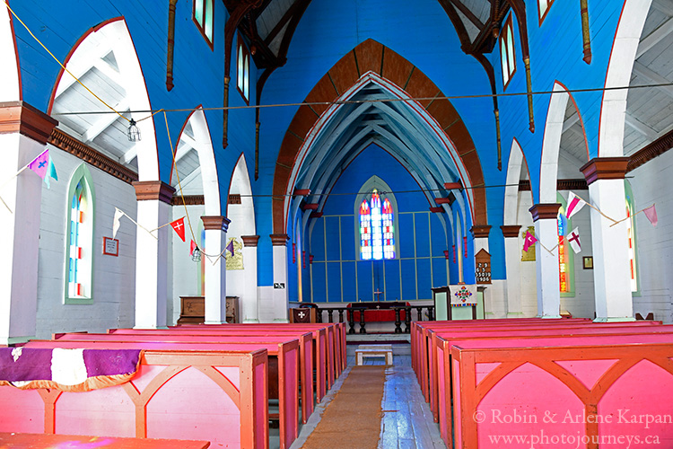
A nice part of this trip is that there are a couple of other great places to see before you even get to the falls. The first is immediately across the river from the boat dock in Stanley Mission. Beautiful Holy Trinity Anglican Church stands impressively on a point jutting into the Churchill River. The Victorian era Gothic Revival church was built between 1854 and 1860 during the fur trade, and is the oldest building still standing anywhere in Saskatchewan. It’s a reminder that in Saskatchewan’s early years, the focus was on the north rather than on the south.
Stanley Rapids
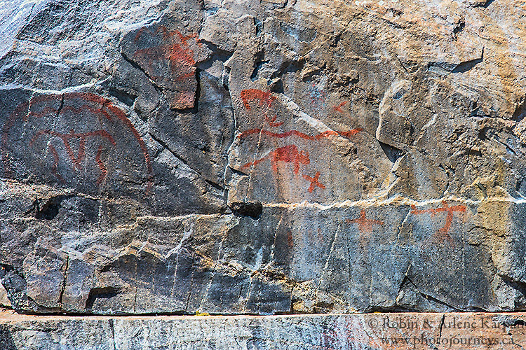
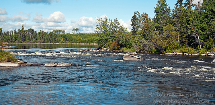
A little less than halfway along the route lies Stanley Rapids and Little Stanley Rapids, with a short portage trail around the latter. As the river narrows approaching the rapids, watch for a cliff face on the north side. Just above the water is an impressive set of ancient pictographs – one of the most easily accessible major rock painting sites in the north. The paintings depict a thunderbird, bison, a caribou-like figure, human figures, and other designs.
Many local people take motor boats through the main Stanley Rapids, but those canoeing should head to Little Stanley Rapids. To get around these rapids, there is a short wooden ramp system with sliders, so you can generally slide your boat across without even unloading. Depending on water levels, it may be possible to run Little Stanley Rapids, but only attempt this if you’re proficient in whitewater canoeing and have scouted the route carefully.
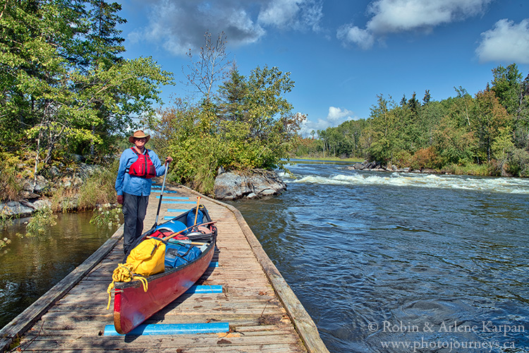
There’s a great place to camp on the downstream side of the portage, and another on the island in Drope Lake just south of the portage. While Drope Lake isn’t large, it’s big enough that strong winds could whip up sizeable waves.
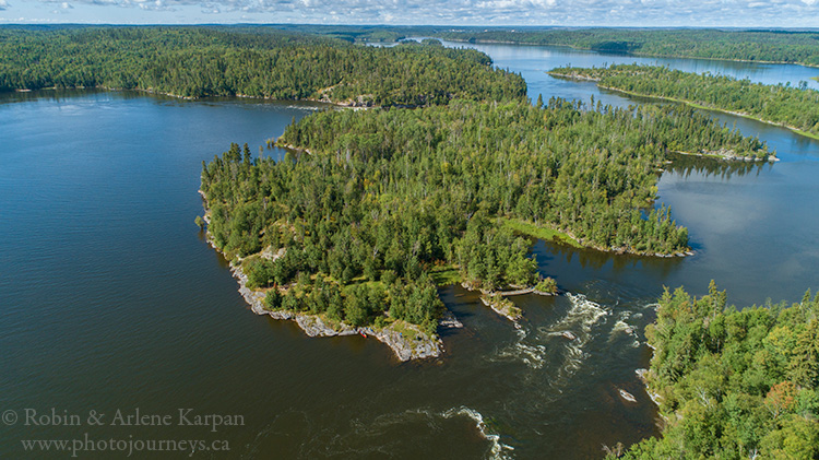
Soon after Drope Lake, the river narrows and makes a fairly sharp C-turn through Frog Narrows. The water is faster here, and when water levels are high, the flow could be powerful enough to make it a bit of a struggle to paddle upstream on the return trip. Immediately after Frog Narrows is a tiny island that has been used for camping for many years. It’s a nice little spot, but if you stay here you’ll have to get firewood from the mainland.
Rapid River
Nistowiak Falls is not on the Churchill River itself, but along the short Rapid River that connects Iskwatikan Lake with the Churchill. In a kilometre or so along the narrow gorge, the water plunges 17 metres, with the biggest drop on the falls itself. Finding the portage trail to see the falls is easy: just look for Jim’s Camp, a fishing lodge that sits on the Churchill River end of the portage trail.
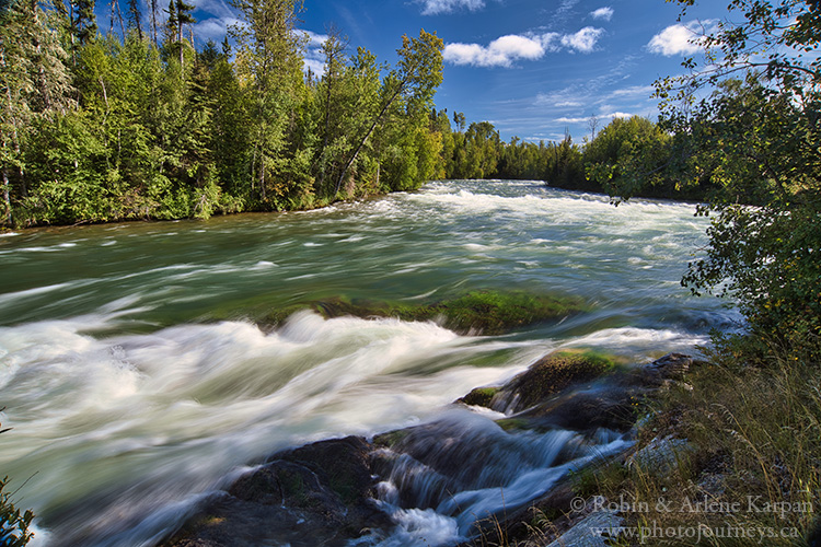
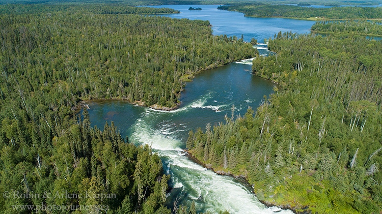
It’s an easy walk of about 1 km or so along the trail to the falls. A great vantage point is on the brink of the falls, and if water levels are not too high you can get out on the rocky outcroppings partway down to see the falls up close. Wide angle lenses are especially useful for photography. If light conditions are right, you can photograph the rainbow effect on the mist. As in most rainbow photography, a polarizing filter accentuates the colours.
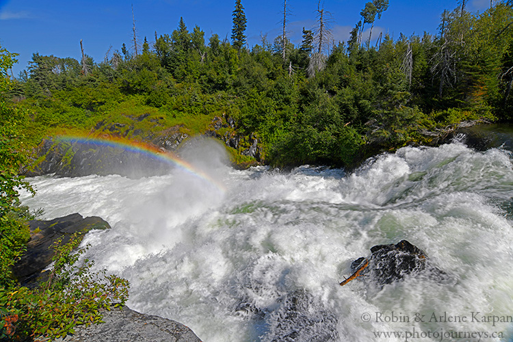
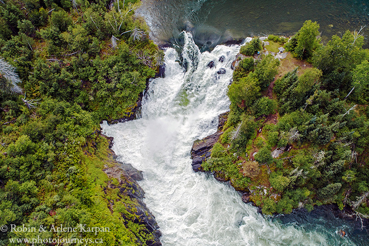
It’s not just the waterfall that is photogenic, but the entire canyon with its non-stop whitewater. When water levels are high, a great wall of mist rises from the base of the falls. The Rapid River is so powerful because it drains massive Lac La Ronge into the Churchill River.
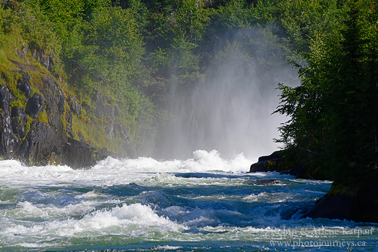
It’s also worthwhile walking upstream to the end of the portage to a set of rapids above the main falls. These have been dubbed Airplane Falls because of an incident in the 1960s when a float plane landed here to pick up forest firefighters. Before the pilot could start the engine, the current pulled the plane over the rapids. Fortunately, the plane became grounded on the shore just before going over the brink of the main falls.
If you decide to canoe this route, be sure to take detailed topo maps and be prepared for wilderness camping. The most useful map is the Churchill River – Otter Lake to Nistowiak Map available from Churchill River Canoe Outfitters in Missinipe. It’s not only a topographic map, but also has portage routes and suggested places to camp.
SUBSCRIBE to Photojourneys below
Feel free to PIN this article on Visiting Nistowiak Falls
