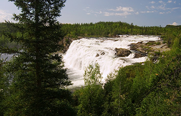
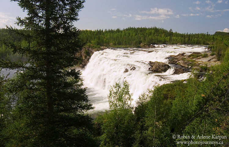
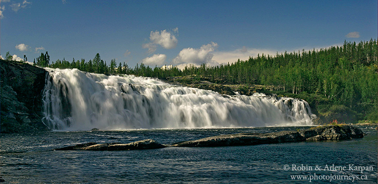
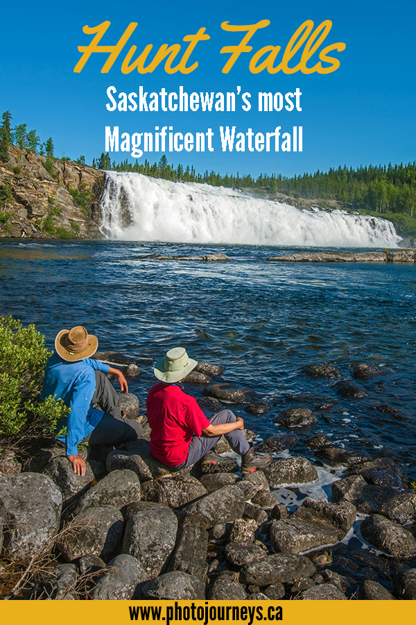
Hunt Falls is the largest and most beautiful waterfall in Saskatchewan. And the best news is that, unlike many places in the north, it’s fairly easy to visit. The falls are the most magnificent section of one of the province’s most magnificent rivers. The Grease River starts just north of the Saskatchewan–Northwest Territories border and flows south into Lake Athabasca. It drops over 200 metres over its final 60 km. Around Hunt Falls it descends 35 metres in a 3-km stretch, the highlight being the 60-metre wide falls that plunge over a fault line. But it’s not just size that matters. The entire setting is drop-dead gorgeous and pristine. There is no road access, and only rarely do canoeists brave this challenging river. The small number of visitors are occasional sightseers, and sometimes a fishing lodge operator flies in guests for a few hours of Arctic grayling fishing.
How to Visit Hunt Falls
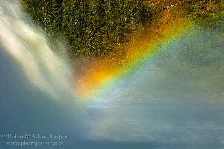
The most practical way to get there is by float plane from Stony Rapids, about 40 km away. Float planes can land on Eagle Rock Lake, just above the falls, and taxi into a small protected cove. From there, short informal paths lead to the brink of the falls, as well as to the tiny lake just below. There are excellent vantage points to see and photograph from the top, bottom, and part way down the west side of the falls along the rocks. Get close to the falls at the bottom for some dramatic shots looking up, and depending on light conditions, capture the rainbow effect in the mist. It’s fairly easy to walk along the edge of the tiny lake below for some overview shots. The falls face southeast, so they are fully illuminated in the morning. Late afternoon brings some nice sidelighting, while the hills start throwing shadows over the falls in the evening.
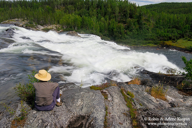
There are three main options for visiting: a fairly short stay while the float plane waits for you, being dropped off with camping gear for a few days, or getting dropped off with camping gear and a canoe (the best though priciest option). Having a canoe greatly expands your opportunities, such as paddling along Eagle Rock Lake to the east side of the falls. You can hike up the hills for views over the falls that few people see. A special feature at the foot of the falls on the east side is an unusual mist meadow, almost tropical-looking because of the constant mist that sustains it. With a canoe you could also explore long, narrow Eagle Rock Lake, named for the bald eagle nests in nooks on the high cliff faces that look over the water. Some of the most impressive cliffs are immediately across the lake from the falls.
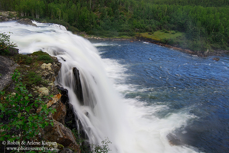
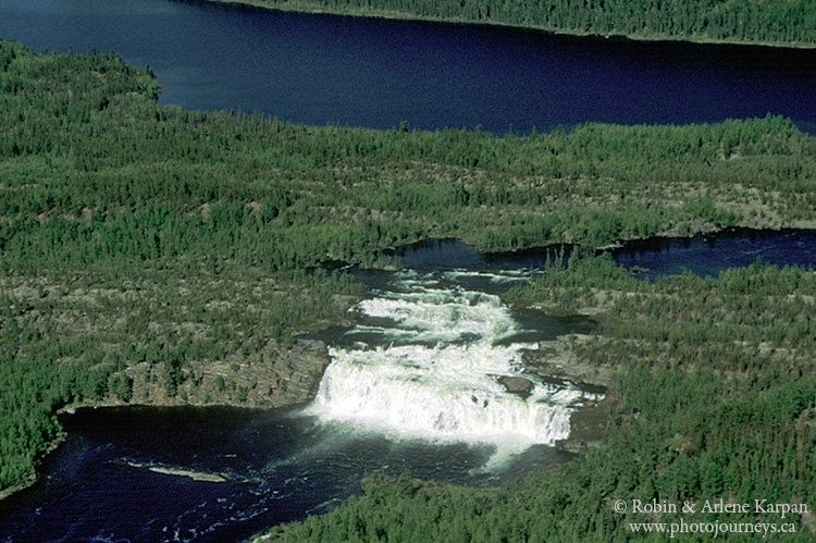
Since you need to arrange air transport anyway, this is the perfect opportunity to add a bit of flying time for aerial photography around the falls and along the mighty Grease River. The entire river valley between the falls and Lake Athabasca is breathtaking, culminating in a wild and narrow whitewater gorge just before emptying into Grease Bay.
Hunt Falls is one of many photogenic places featured in our book Photographer’s Guide to Saskatchewan.
SUBSCRIBE to Photojourneys below
Feel free to PIN this article


Very nice article. The falls are named for my uncle William Edward Davis Hunt RCNVR, stoker, who perished in the North Atlantic aboard the HMCS Ottawa on Sept.13, 1942 , sunk soon after two German torpedoes hit her hull. I’m considering placing a commemorative plaque or at least a camping visit to the area. We are avid paddlers, so it would be interesting to make a multi-day trip of it. Bill Hunt married my father’s big sister, Gladys Taylor in the summer of 1942, mere days before shipping-off for duty escorting supply convoys across the Atlantic.
Very interesting. I first visited these Falls in the winter of 1962 – 63 when they were still called “Lefty Falls,” named after a pilot I knew who had first identified them and had government include them on the topographical map. while I appreciate the sacrifice made by your uncle, I will still call them “Hunt/Lefty Falls, paying joint-respect to your uncle and Lefty McLeod.
Very interesting. I first visited these Falls in the winter of 1962 – 63 when they were still called “Lefty Falls,” named after a pilot I knew who had first identified them and had government include them on the IMG_0751.JPG map. while I appreciate IMG_0751.JPG sacrifice made by your uncle, I will still call them “Hunt/Lefty Falls, paying joint-respect to your uncle and Lefty McLeod.
Hey, who do you contact for float plane?
The main float plane charter company operating out of Stony Rapids is Rise Air https://riseair.ca/services/charters Also contact Tourism Saskatchewan for an up to date list of companies that operate float planes in the area.
I have a photo (1966) from when my folks & I were Hird Prospectors and camped Hunt Lake, above Lefty Falls. The trees were much smaller! There is also McLeod Lake, near there. It is unique that, in not being a big lake, it has an island with a lake, with an island.
Thanks for your comments Louise. It’s always great to hear from anyone who has travelled in that wonderful part of Saskatchewan and to learn of other fascinating parts of the landscape.