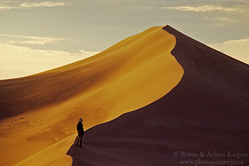
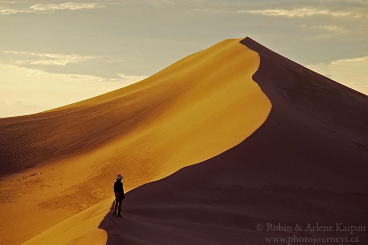
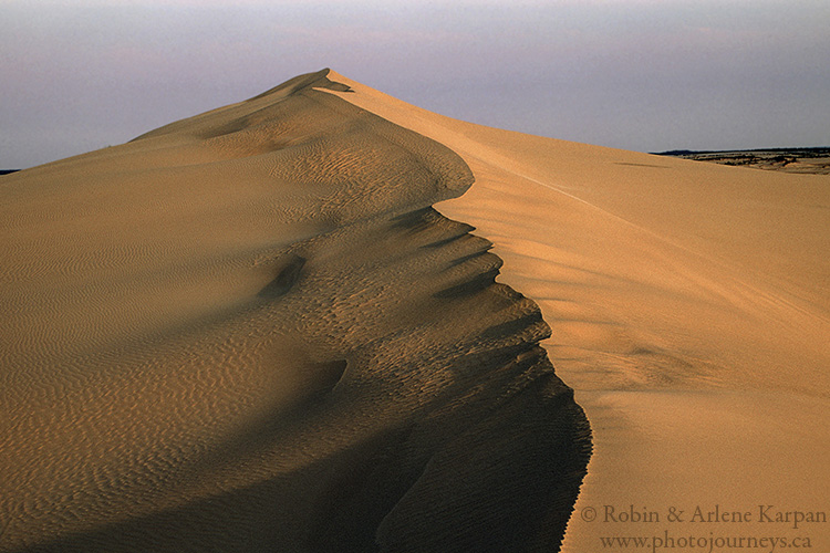
The Athabasca Sand Dunes are, quite simply, our favourite place in the world. Stretching for about 100 kilometres along the south shore of Lake Athabasca in Saskatchewan’s far north, these are the largest dunes in Canada and the largest this far north anywhere in the world. But it’s not just size that makes them unique. As we might expect, most of the world’s great sand dunes are in deserts or at least in very arid regions. But not here. The Athabasca Sand Dunes lie smack in the middle of boreal forest and lakelands, next to one of Canada’s largest lakes, and sliced by three rivers. Surprisingly, the best way to explore these extraordinary dunes is by canoe. How cool is that?
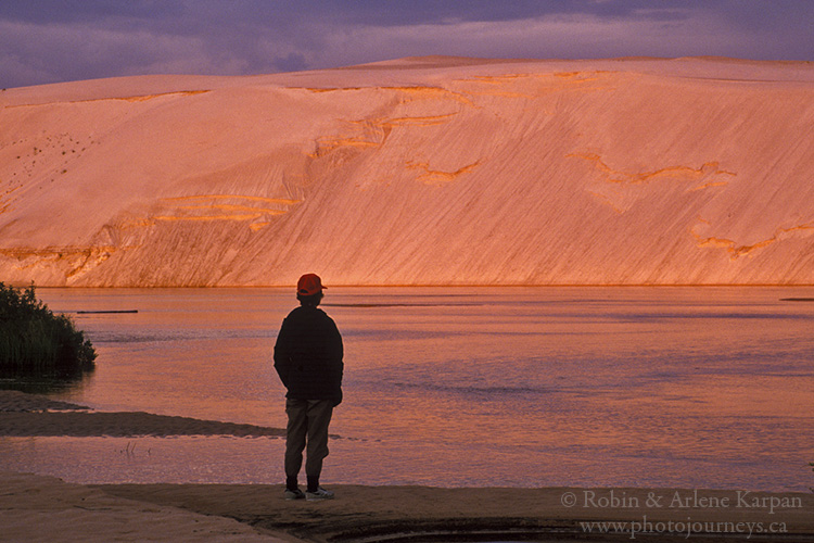
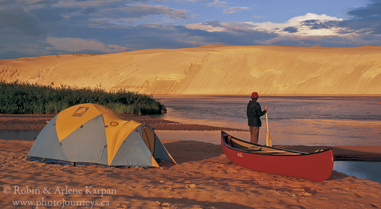
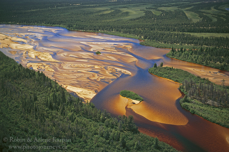
We’ve been coming here off and on for many years, drawn by the enchanting landscape. On our first trip we canoed down the William River, which for about 25 kilometres is like a narrow ribbon running between two totally different worlds. The east bank is clothed in dark green jack pine forest typical of the north, while the west side is lined by massive banks of golden sand, in places rising 30 metres straight out of the water.
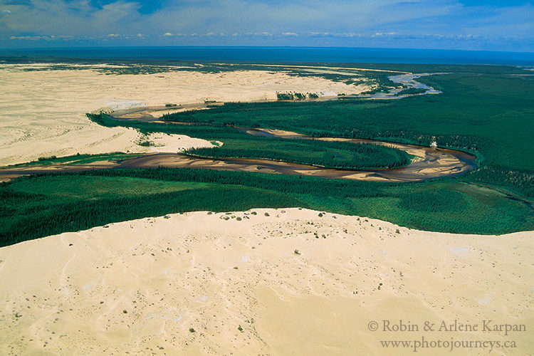
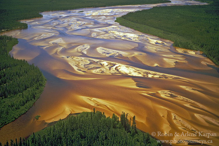
The William is like two different rivers. For most of its length it races through frothing rapids and boulder-strewn rock gardens. Then, 18 kilometres before reaching Lake Athabasca, it becomes completely sand-choked. spreading into a shallow, braided stream up to a half kilometre wide in places. Here you are hard pressed to find a single stone.
We’ve paddled upstream a few times as far as the last rapids, which is only possible when water levels are high. Two challenges are tackling the fairly strong current, and keeping our paddles in deep enough water to maintain powerful strokes. We constantly zigzag across the wide river searching for deeper channels. But the effort is worth it, since going upstream takes us into the most spectacular dune scenery.
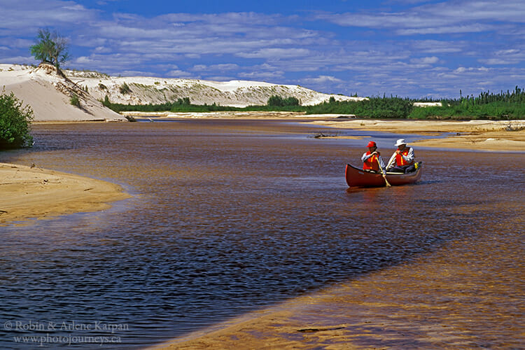
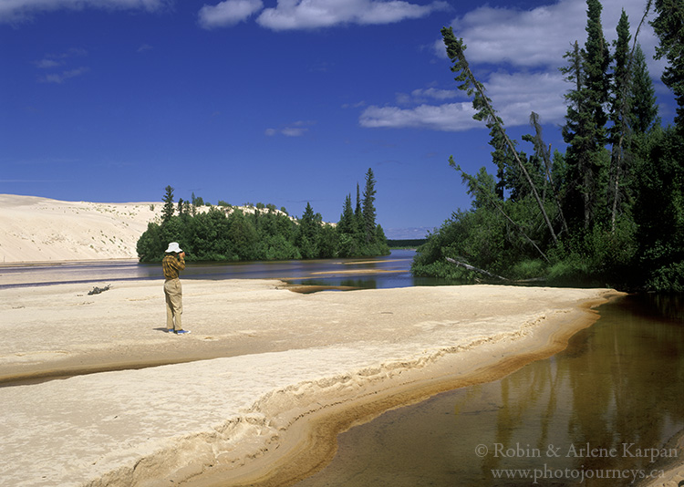
Our most recent visit was this past summer. There wasn’t enough water to go upstream on the William River, so we spent a delightful week paddling along the south shore of the lake, lined by almost non-stop beach, and exploring the various dune fields along the way. We saw no other people and no other boats. If it weren’t for the odd plane flying overhead, there would have been absolutely nothing to remind us of the “civilized world”.
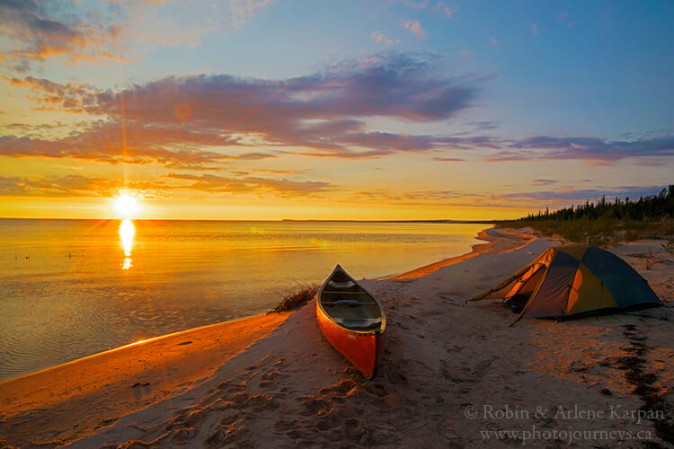
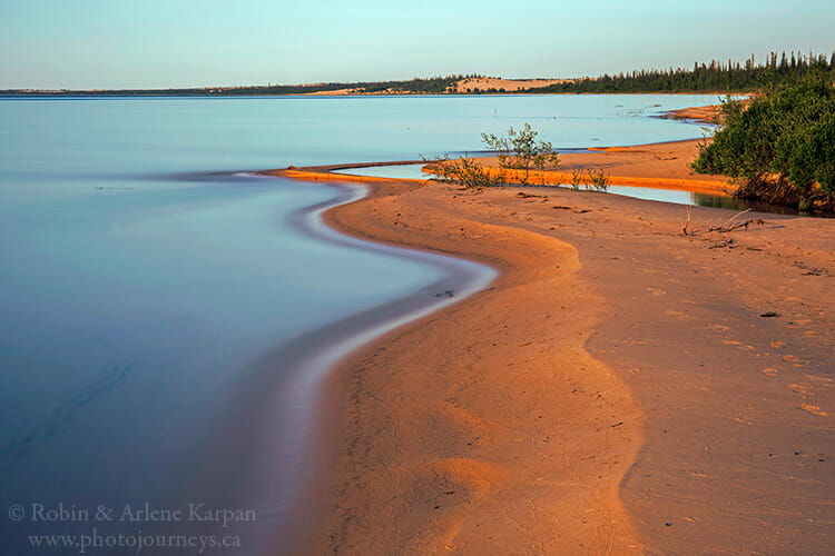
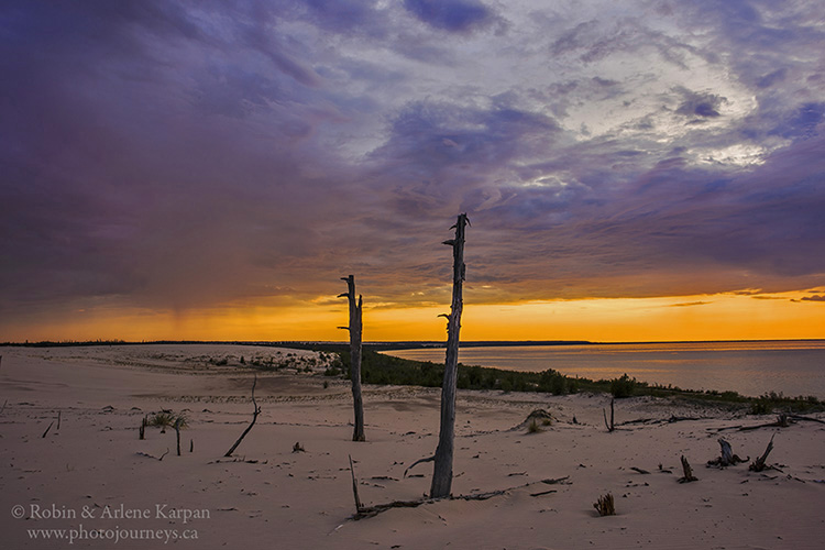
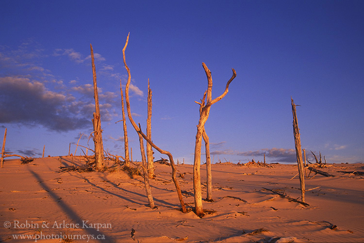
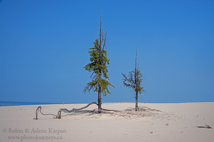
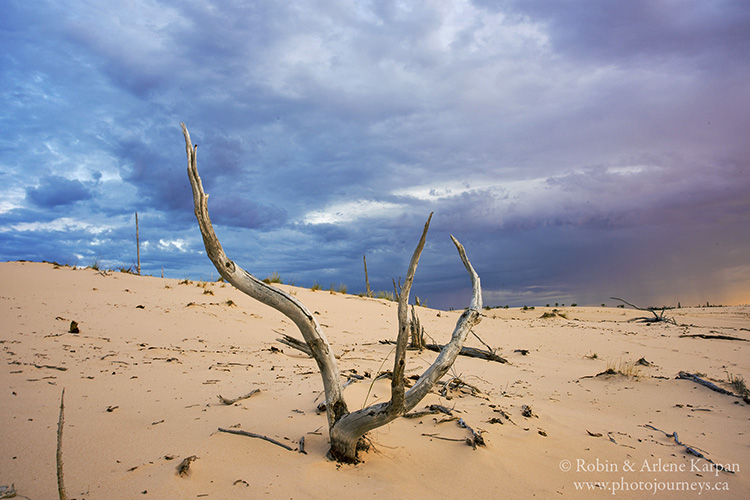
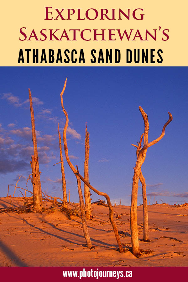
The dunes have a long list of outstanding features, including numerous rare plants, including endemics found nowhere else on earth. We find fuzzy, felt-leaved willow, delicate strands of sand chickweed that thrive in pure sand, and Athabasca thrift resembling tiny pink candy apples. Most intriguing are the exhumed forests, where ancient trees were once buried by moving sand then exhumed as the dunes migrate with the prevailing winds.
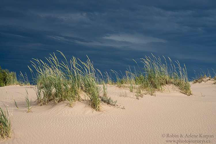
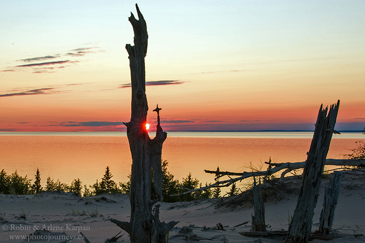
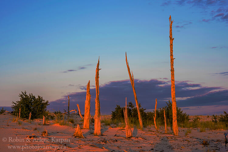
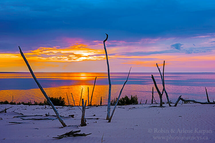
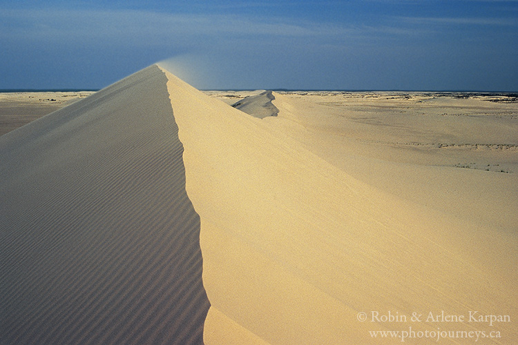
A two-hour hike west of the William River brings us to the giant dunes. About 40 monsters lie in the centre of the dune field, many rising over 30 metres high and stretching a kilometre long, their knife-edge crests flowing in sinuous curves. Climbing to the top, we keep reminding ourselves that we’re still in Saskatchewan, not the Sahara.
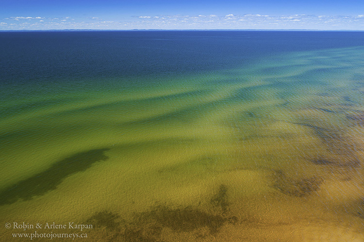
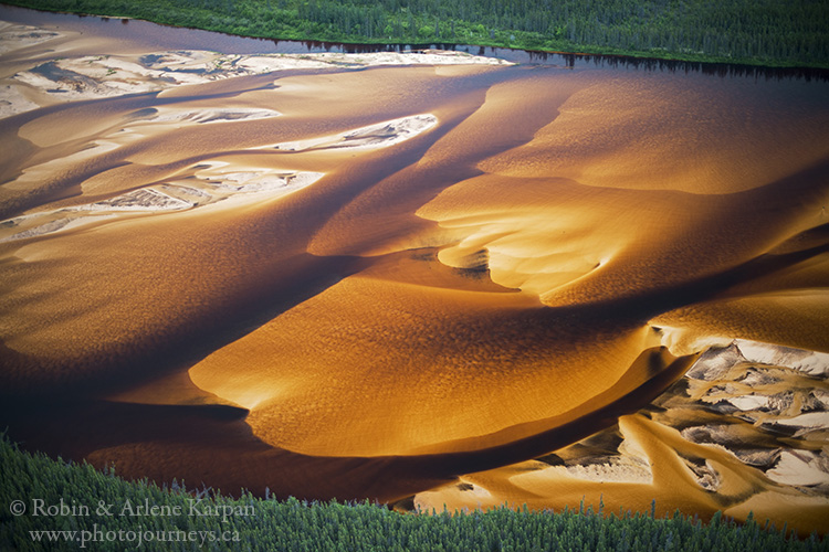
As impressive as the William River may be at water level, it saves its grand finale for those who fly over. Looking down over the braided section and expansive delta, the William is magically transformed into a giant abstract painting. Multi-hued shades of gold, beige and copper reveal varying depths of underwater sandbars, while above-water sand appears white, and deep channels a chocolate brown. Swirling colours remind us of butterscotch pudding marbled with whipped cream.
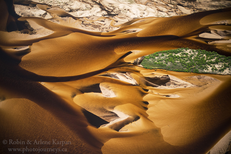
Other than evidence of forest fires here and there, we’ve noticed little change over the years. The dunes are protected in a provincial park, but even more important, isolation is preserving this enchanting landscape.
How to visit
There is one glitch in visiting this special place – it ain’t easy. There are no facilities of any kind – no roads, no buildings, no organized transport, no people, no cell service, nothing. Which is one of the reasons why it has remained such a delightful place. Options include chartering a float plane to drop you off or arranging boat transport from a Lake Athabasca community. The town of Stony Rapids on the east end of the lake is the main service centre with float plane charter companies. You can get to Stony Rapids by road (a bloody rough road in places). Another alternative is to fly into one of the Lake Athabasca north shore communities, such as Fond du Lac or Uranium City, which are closer to the dunes, then hire someone to take you by boat.
Some visitors get around by hiking. There are occasional guided excursions. Churchill River Canoe Outfitters sometimes offers tours, usually hiking trips. No matter how you go, you have to be fully prepared for self-sufficient wilderness camping.
More Information
Several of our books feature the Athabasca Sand Dunes, including Northern Sandscapes, Northern Saskatchewan Canoe Country, The Great Saskatchewan Bucket List, and Photographer’s Guide to Saskatchewan. Visit Parkland Publishing.
SUBSCRIBE to Photojourneys below
Feel free to PIN this article on the Athabasca Sand Dunes in Saskatchewan


Special ! !
Spectacular!
This is amazing…so beautiful..
Beautiful. I loved the views and wish I could go.
Maybe you will one day. You won’t be disappointed.
I need to gather some adventurous friends to explore this amazing Saskatchewan landscape. Plus I need to learn how to survive for some days. I think it could be probably one of the best experiences and close to home.
Now, how to do this?. How to get close? Canoeing, flying driving and boating,?
Nice article and pictures! My husband and I will probably drive to Stony Rapids in our 4WD high clearance campervan. And then get transported to this region (Thompson Bay) via ? (TBD) (probably float plane). Anyway, I found some maps via the Avenza app but I was wondering how I might procure some “trail” ideals or other paper maps. Thanks.
The only paper maps we are aware of for that area are topo maps. We used the 50,000:1 topo maps and found them quite useful. However, some of the free maps available online are probably just as good. Just make sure that you use the maps offline which you need do up there. A paper map is also a good backup in case you run out of battery power. There are no trails as such. If you will be getting around by hiking, Thomson Bay is probably the best place to start because you can walk for several kilometres along the shoreline then venture into the dunes anywhere that it looks interesting. Enjoy your trip.
Sources for downloadable maps include https://natural-resources.canada.ca/science-and-data/science-and-research/geomatics/topographic-tools-and-data/download-directory-documentation/17215 Keep in mind that many of these maps are “legacy” meaning they have not been updated.
You can order a paper map from Information Services Saskatchewan https://www.isc.ca/MapsandPhotos/Maps/Pages/TopographicMaps.aspx