The north shore of Lake Superior in Ontario is a great place for waterfalls. Several rivers cut through the rugged Precambrian Shield landscape, with cataracts and rapids galore. But if you’re looking for falls that are both impressive and easy to access along the Trans Canada Highway, these five places shouldn’t be missed.
Kakabeka Falls
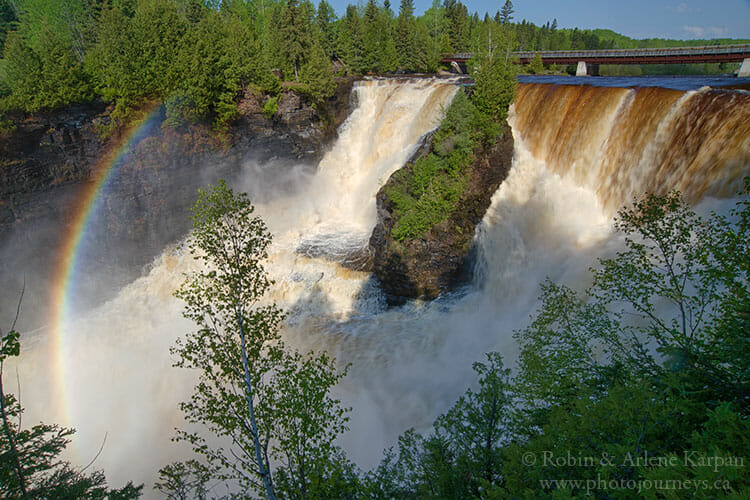
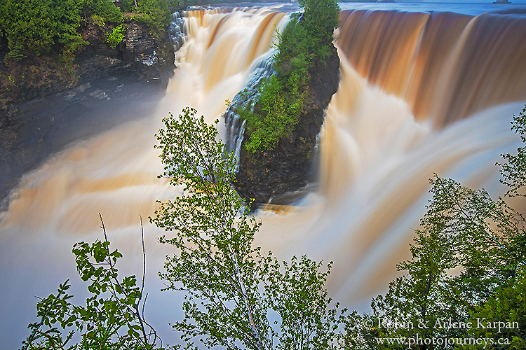
Only a short drive west of Thunder Bay, Kakabeka Falls Provincial Park is home to the second highest falls in Ontario where the Kaministiquia River plunges 40 metres into a breathtaking gorge. Boardwalks run along both sides of the falls, as well as on top near the brink, making for some spectacular close-up views and different angles for photography. Other short walking trails taking you farther afield, such as along the old portage route used during the fur trade.
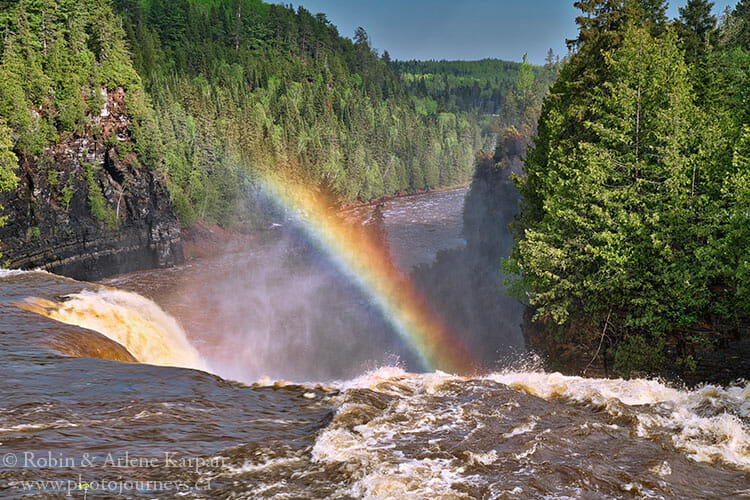
The park has a campground, so an overnight stay provides the perfect opportunity to come back to the falls at different times of day and during different light conditions for photography. Since the trails provide access to three sides of the falls, it’s often possible to capture the rainbow effect in the mist rising the falls.
Rainbow Falls
Rainbow Falls Provincial Park is near the northern shore of Lake Superior, just a few minutes west of the small town of Shreiber along the Trans Canada Highway, and about 80 km east of Nipigon. The park has two parts which are quite different. The small Rossport Campground is immediately beside Lake Superior, while the larger Whitesand Lake Campground and day use area is five km farther east along the highway and slightly inland.
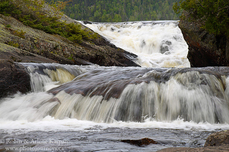
To see the falls, head to the Whitesand Lake section. The trail along the falls is short but outstanding. It starts at the outlet of Whitesand Lake and follows the numerous drops of the falls, which are so extensive that you can’t see them all at once. The trail is mostly a series of stairways with viewing stands and places where you can get right beside the water. It ends at a footbridge over the falls, although you can walk further along the trail systems. The falls were named “Rainbow” because of the various shades of colour in the rocks and lichen.
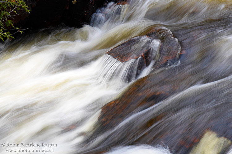
If you like photographing waterfalls and other whitewater features close-up, these easily accessible spots are ideal. The falls cascade along a narrow creek through thick forest, so the ideal time for photography is during overcast conditions with nice even light. Using a tripod is always best for photographing waterfalls, and especially for conditions like this where there is less light under the forest canopy.
Aguasabon Falls
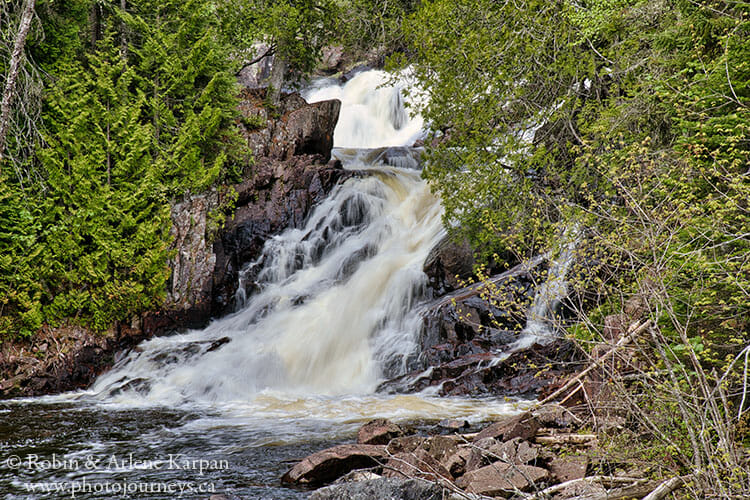
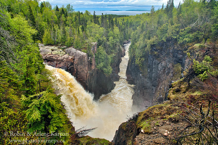
The 30-metre high Aguasabon Falls and impressive gorge are just outside the town of Terrace Bay along the Trans Canada Highway. The falls were created when a dam was built for a hydroelectric project and the water diverted. There’s a convenient viewing area to look over the falls, gorge, and Lake Superior just beyond. The falls were roaring away during our early summer visit, though the flow can vary considerably.
Waterfalls near Wawa
Three waterfalls here are easily accessible. Just south of the town of Wawa, follow the signs to Scenic High Falls on the Magpie River. Just below the falls is a viewing area, picnic site, and a covered pavilion with interpretive panels that provide the lowdown on the river’s importance, along with stories about prominent local characters. One story is about famous music composer Glenn Gould, who often came to these falls for inspiration.
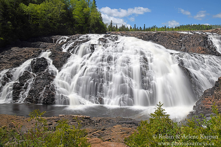
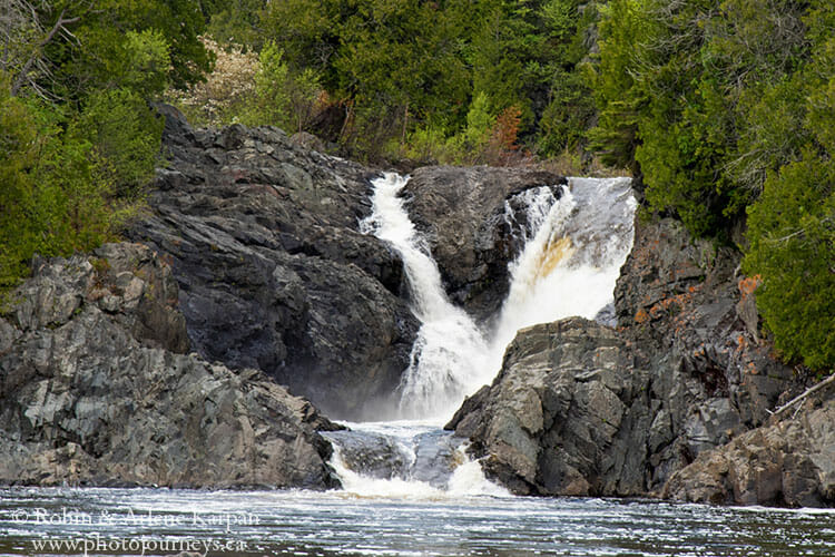
Two smaller though beautiful falls along the Magpie River are also worth checking out. Head slightly farther south along the Trans Canada Highway and turn west on Michipicoten River Village Road, then Michipicoten Harbour Road. Where the road crosses the Magpie River, we can see two drops of Silver Falls, one just upstream and the other downstream.
Falls of the Sand River
Lake Superior Provincial Park covers a huge piece of land long the lake’s east shore between Wawa and Sault Ste. Marie, Ontario. In 1960, this was the last place in the country to complete the Trans Canada Highway because of the challenge of finding a suitable route through the difficult terrain. Driving that stretch today serves up one panoramic view after another.
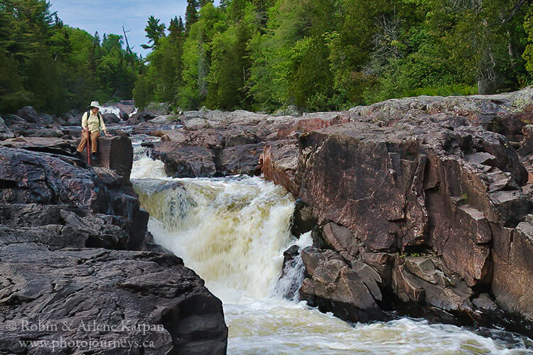
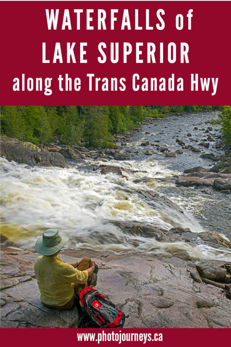
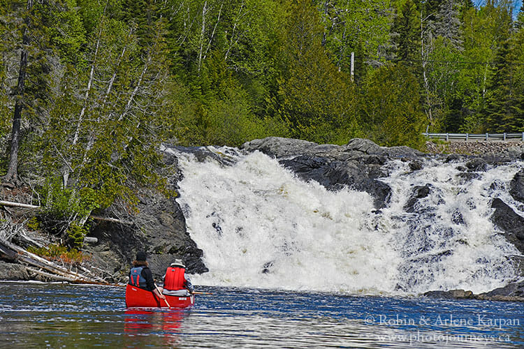
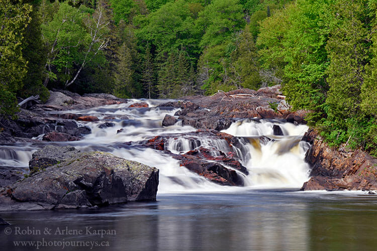
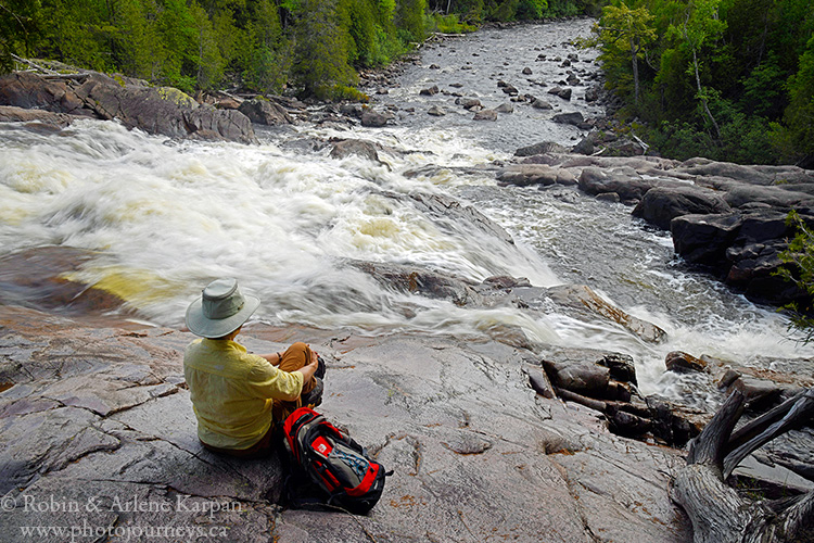
The easiest major waterfalls to visit are along the Sand River. This river used to be a travel route for the Ojibway, and today is a popular canoe trip that involves a lot of portaging. The trailhead for the Sand River Trail, also called the Pinguisibi Trail, is right beside the highway. The 6-km return hike follows the river past a series of impressive rapids and waterfalls. While it’s best to do the entire walk, you can still see quite a lot by only going partway.
For waterfalls in provincial parks, see additional details on the Ontario Parks website. Before visiting, check to see if there are any updates on restrictions due to Covid-19.
SUBSCRIBE to Photojourneys below
Feel free to PIN this article on Waterfalls along Lake Superior
