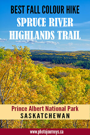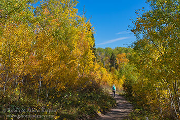
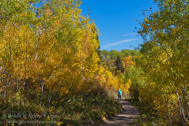
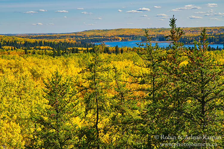
Saskatchewan’s Prince Albert National Park is a prime spot both for fall colours and for hiking. But if you want to combine the best of both worlds, it’s hard to beat the Spruce River Highlands Trail. It’s an enjoyable 8.5-km loop through hilly terrain, shady stands of tall aspen forest, and open meadows on sandy slopes overlooking the Spruce River Valley. Near the turn-around point you can see Anglin Lake in the distance. Allow at least 3 hours for a leisurely walk, more if you stop frequently to take photos along the way.
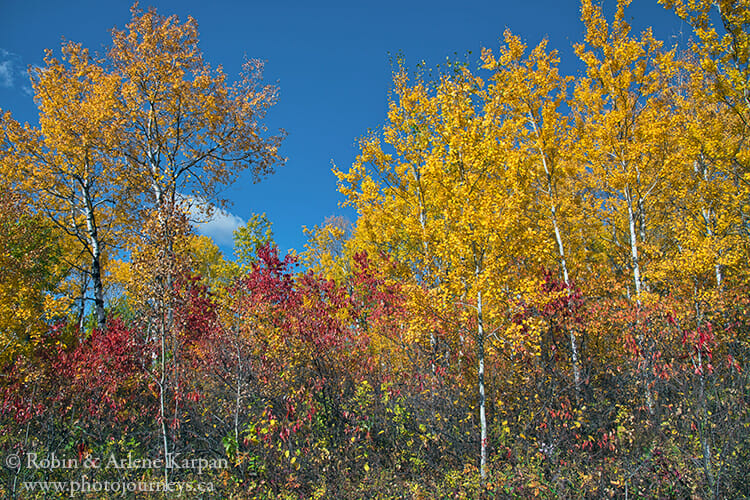
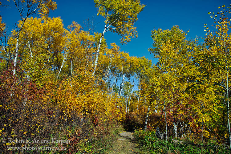
This is one of our favourite trails in the park at any time, but fall is nothing short of spectacular when the brilliant yellow leaves of trembling aspen and birch contrast with the deep green of pines and spruce. The forest understory turns shades of red, rust, and burnt orange, adding to the palette of colour.
Logistics of the Spruce River Highlands Trail
The park rates this trail as difficult because of the steep hills. There’s also exposed tree roots and rocks in places, but if you take it slow on the inclines, it’s not difficult to walk. We took walking sticks along when we last did the trail about a week ago, but we never used them, as it was easy to make our way along the sandy pathways.
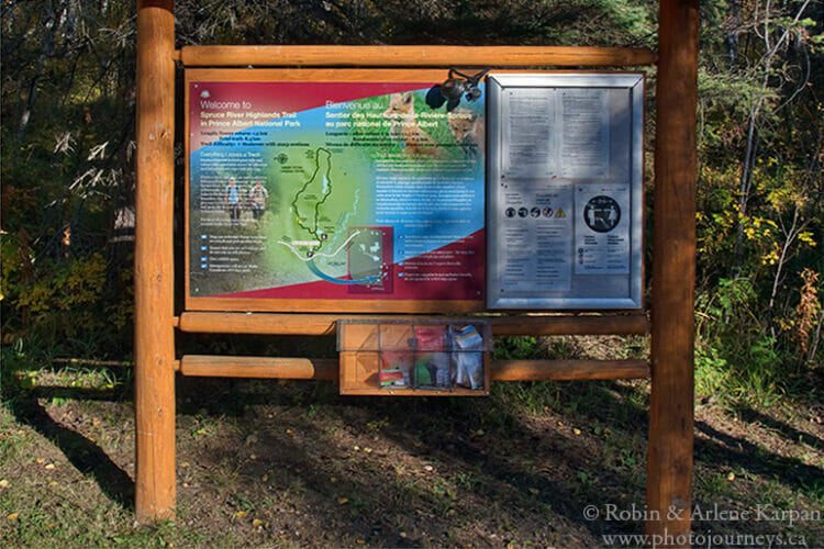
The trailhead is 28 km south of the townsite of Waskesiu along Highway #263, also known as the Scenic Route with access to lakes and campgrounds, and other hiking trails.
The Viewing Tower Option
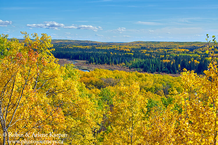
If you think that 8.5 km is a bit too much, there is another shorter option that at least gives you a taste for the landscape. You can just do the first portion of the trail — which is about 700 metres one-way — to a 10-metre viewing tower that offers spectacular vistas of the heavily forested hills and wide Spruce River valley below.
It’s a steady climb from the parking lot up a hill, then a beautiful walk through the forest to the base of the viewing tower. From the top, you can see how the forces of nature such as glaciers and fast-flowing meltwater shaped the landscape, with high hills framing the river valley below.
The Long Loop
To continue on the long main loop, keep to your right after you leave the viewing tower. There’s a junction a little ways ahead, and you should stay to the left to walk the trail in a clockwise direction.
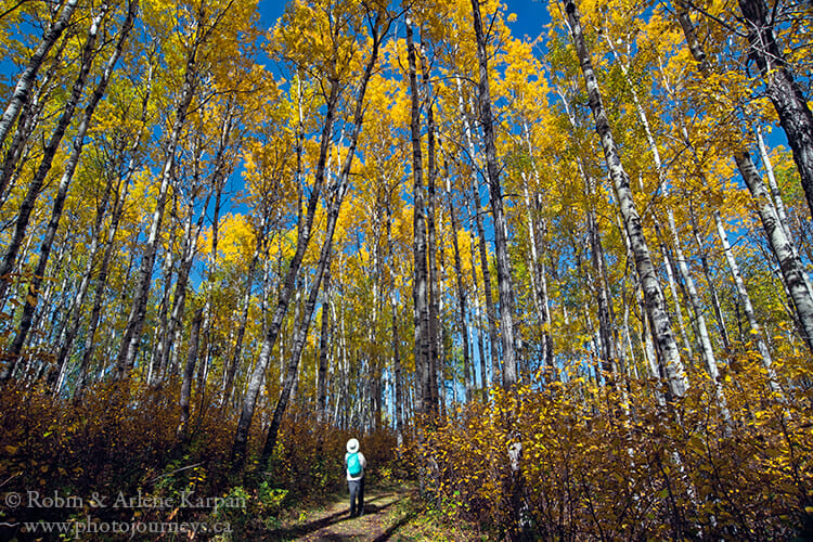
The first half (3.4 km) is the tougher portion, though also the most photogenic, taking you over rollercoaster terrain (it seemed like it was more up than down). Most of the walk is through thick mixed-wood forest. You also cross open meadows where colourful wildflowers abound all summer long. Even in fall, asters were still blooming, and red bunchberries dotted the forest floor. The trail surface is sandy most of the way, revealing tracks of animals such as deer and moose, and other critters that have passed by.
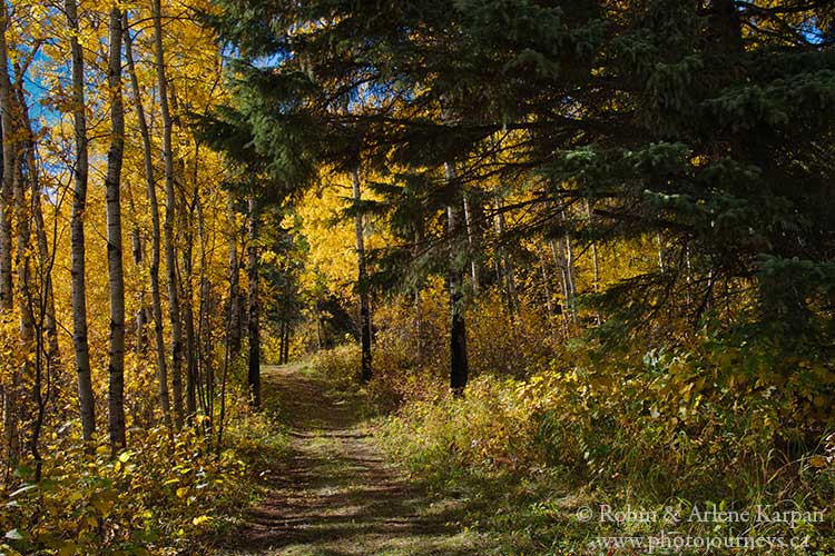
Towards the eastern end of the loop, the trail passes through stands of jack pine, and then birch. Finally you emerge at an open area where you can look across the Spruce River valley and see Anglin Lake in the distance.
Complete the Loop
Keep walking until you come to a junction with a ski trail that connects this trail to others in the Anglin Lake area of Great Blue Heron Provincial Park. Stay to your right and continue for about 3 km through stretches of aspen forest interspersed with areas of jack pine and spruce. Since the forest is very thick and the terrain lower, there are no views of the valley. There’s fewer ups and downs along this section, and the wide trail is much faster to walk. At the junction, return up a long ridge towards the viewing tower, and continue back to the parking lot.
To see a map of the route, check out Parks Canada’s website. Also see our other postings on Easy Hikes in Prince Albert National Park for suggestions on shorter hikes.
SUBSCRIBE to Photojourneys below
Feel free to PIN this article on the Spruce River Highlands Trail in Prince Albert National Park
