All photos © Robin and Arlene Karpan
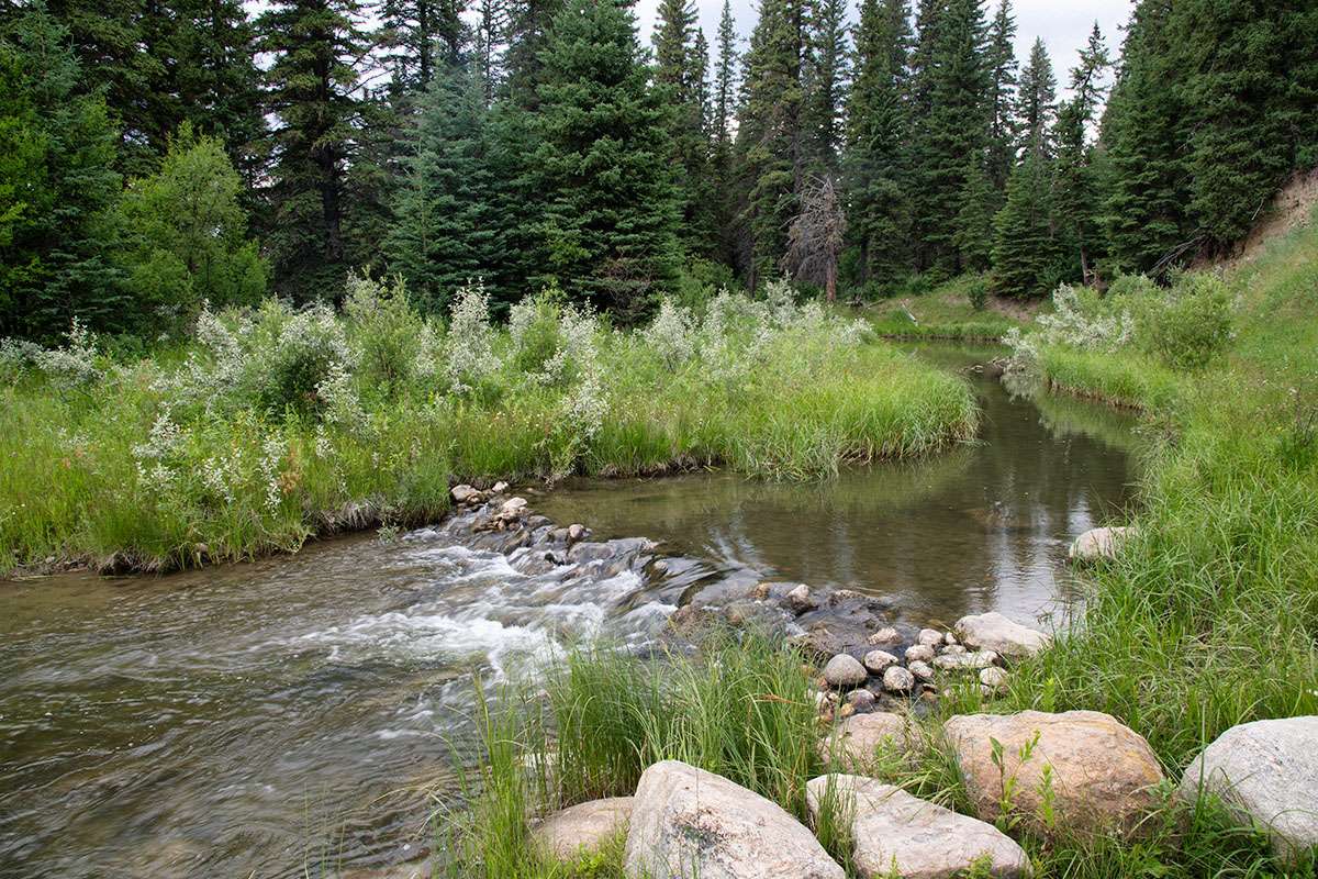
Flowing through both the Alberta and Saskatchewan sections of Cypress Hills Interprovincial Park, plus Fort Walsh National Historic Site, Battle Creek is one of the shorter waterways on the Canadian Prairies. Yet, few can match it for the mix of history and scenery around every corner of its meandering course.
Located at the northern extent of the Gulf of Mexico watershed, the creek begins in the Cypress Hills just east of Elkwater, Alberta. Both the Alberta side and the Centre Block of the Saskatchewan side of Cypress Hills Interprovincial Park are immensely popular. But the road along Battle Creek connecting the provinces, as well as the West Block of the Saskatchewan side sees little traffic. This suits us just fine, since we consider the border area one of the nicest parts of the park.
The Alberta Side
From Elkwater, head south on Highway 41. Shortly after climbing out of the valley to the top of the plateau, a sign points the way east to Reesor Lake along the Battle Creek route. But before heading east, it’s worthwhile taking a short detour west from the same intersection. Signs point the way to Horseshoe Canyon where the landscape drops off sharply, offering sweeping views to the north.
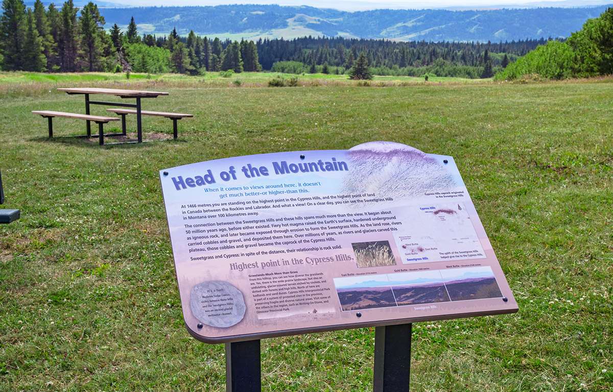
Continue west on the same road to Head of the Mountain Lookout which marks the highest point in the Cypress Hills at 1466 metres (just over 4800 feet). This is the highest elevation in Canada between the Rockies and Labrador, due in large part to the Cypress Hills being one of few places in the Prairies not covered by glaciers in the last ice age.
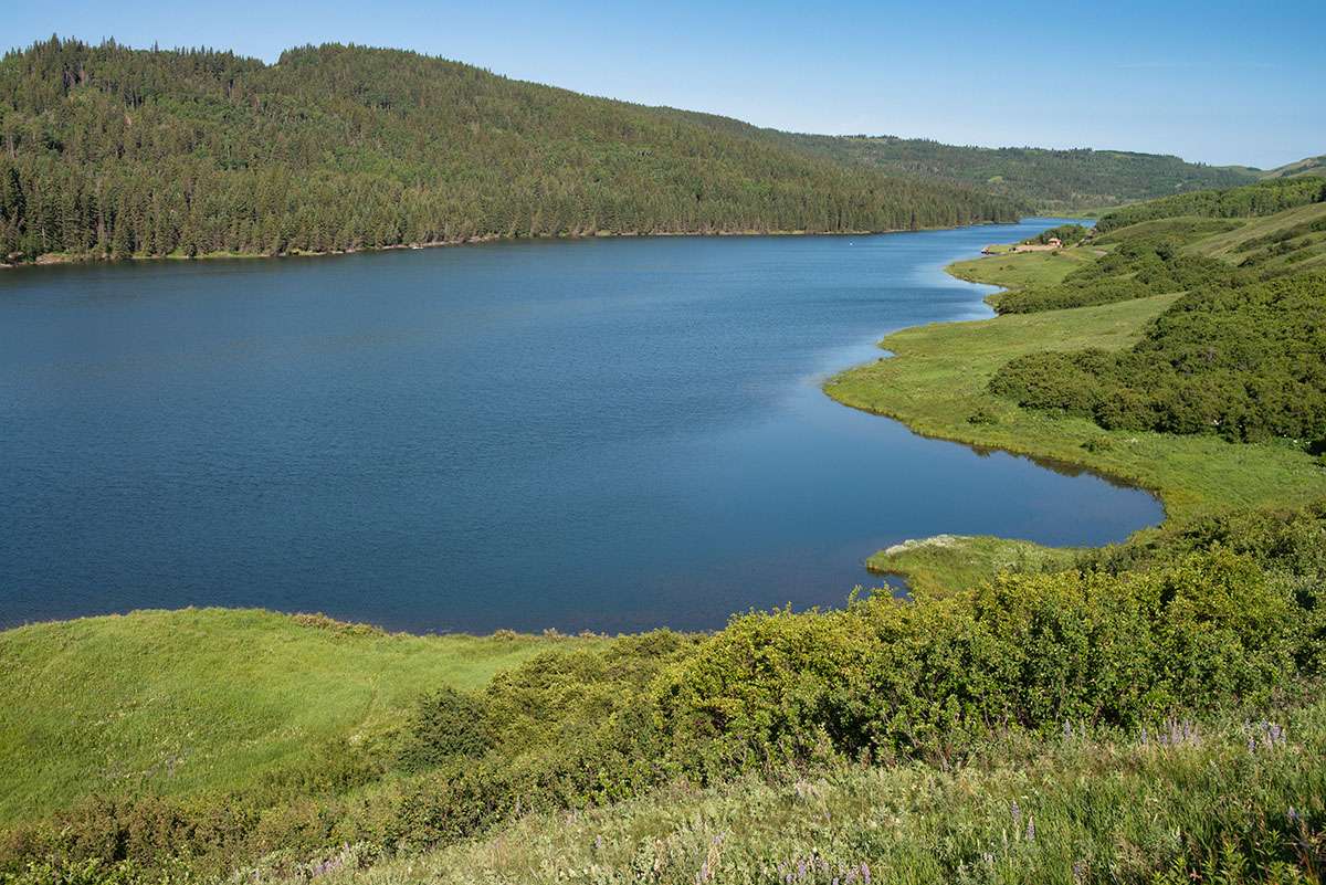
Then head back to the intersection with Highway 41 and follow the signs east to Reesor Lake. You soon come to a high plateau with stunning views across the valley with the rolling forested hills. Farther along, it winds down into Battle Creek Valley, highlighted by Reesor Lake, a small reservoir created by damming Battle Creek, and a trout fishing hotspot.
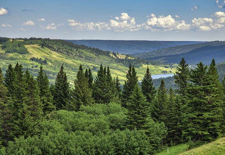
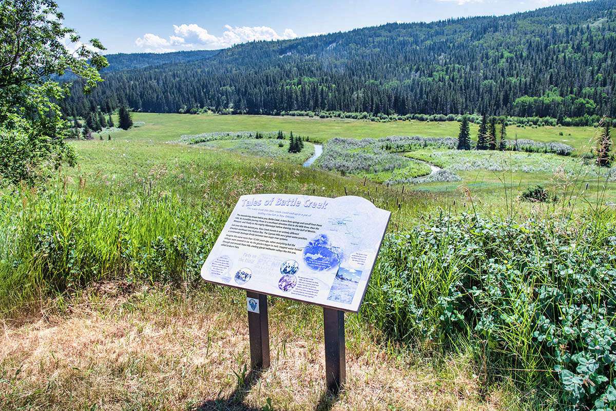
East of the lake, the pavement turns to gravel and the road name changes to Battle Creek Road. Pullouts with interpretive signs indicate points of interest, such as Police Point Slump, site of a massive landslide where the valley wall gave way in 1967.
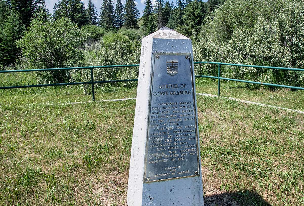
Farther along, a cairn marks the grave of Constable Marmaduke Graburn of the North West Mounted Police. In 1879, he had the dubious distinction of being the first Mountie in Canada to be shot and killed on duty. His murderer was never found.
At a T-intersection, Battle Creek Road continues by taking a short jog to the south on the major gravel road known as Graburn Road, then heading east again. Continuing south on Graburn Road brings us to the Battle Creek campground, the mostly easterly campground on the Alberta side.
Turning north on Graburn Road soon brings us to the Historic Reesor Ranch. Its location is a bit unusual in that it is in Saskatchewan but its only access road is from Alberta. Offering accommodation, guided horseback rides, and even more exceptional scenery, it brings together history, cowboy heritage and hospitality. We covered the ranch in more detail on this posting.
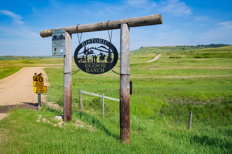
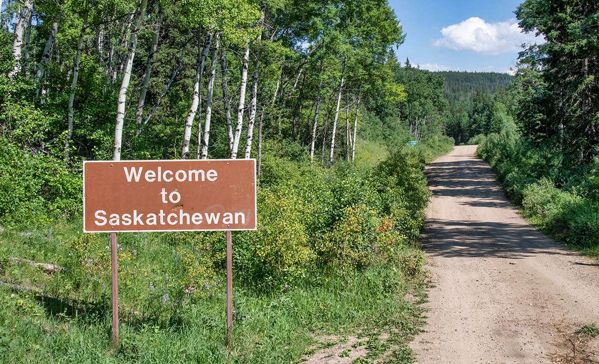
Entering Saskatchewan
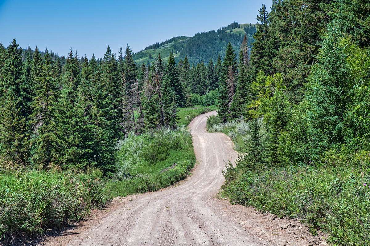
Back on Battle Creek Road, we soon cross the border into Saskatchewan and the West Block of Cypress Hills Interprovincial Park. The road descends deeper into the valley, with the meandering creek lined by thick stands of lodgepole pine, spruce, and aspens, interspersed with wildflower-adorned meadows.
If you like wildflowers, there is simply no better place on the Prairies than the Cypress Hills. In mid-summer, the wildflower displays in grassy meadows all along Battle Creek Road can be dazzling. Lupins with their tall purple spikes are interspersed with bright magenta blossoms of sticky geranium, while lemon-yellow cinquefoil and gallardia provide a splash of yellow.
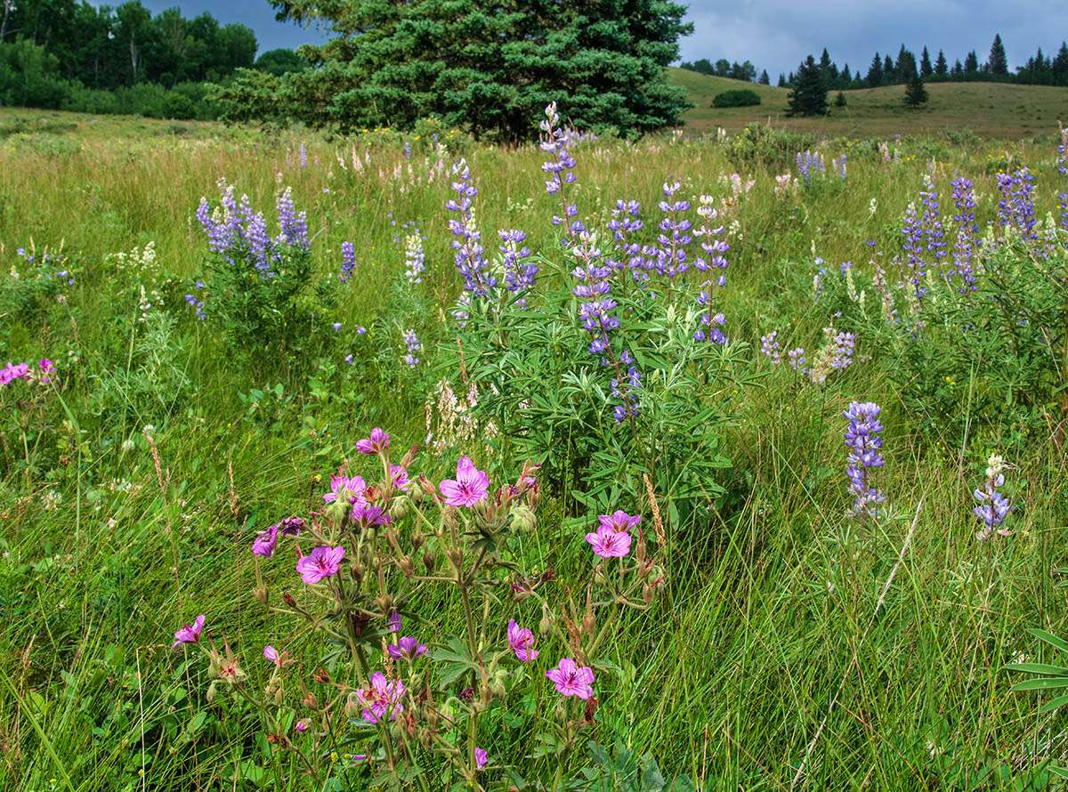
Because Cypress Hills has such diverse habitats, the variety of wildflowers includes species found in grasslands, boreal forest, and higher alpine regions.
Hike to the Hidden Conglomerate Cliffs
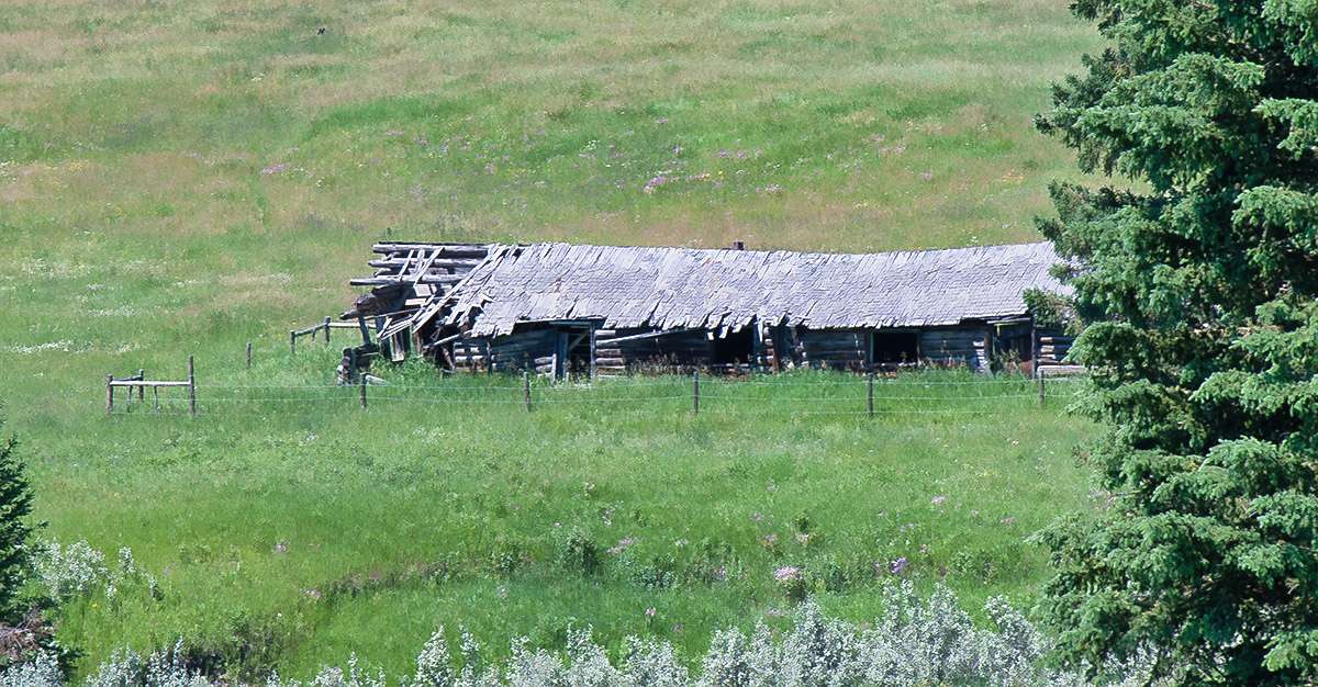
Shortly after crossing the border we come to a trailhead for the Trans Canada Trail, across the road from an old abandoned log building known as the Symons-Noble House that dates to the 1940s. Leave your vehicle in the small parking area at the start of the trail where you see a sign and map. While great hiking opportunities abound throughout the park, this section is especially scenic. Also known as the High Vista Trail, this part of the Trans Canada Trail heads up the valley slopes to the Hidden Conglomerate Cliffs high on the valley rim.
It’s a steep climb with an elevation gain of about 200 metres up the valley slope but every bit worth the effort. On top, you have magnificent views from the Hidden Conglomerate Cliffs, outcroppings of unusual stone formations jutting out from the valley rim. They’re called hidden because you can’t see them while driving along the valley road.
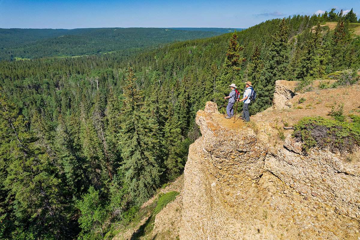
The conglomerate formations consist of gravel and cobblestone sediments carried by large river systems millions of years ago. Over time, they became compacted and cemented together, forming a layer that protects the underlying softer rock. At these cliffs, and at the other set of Conglomerate Cliffs overlooking Adams Lake, the rocks are exposed, allowing us to get a closer look at the unique formation.
There is another trailhead for the High Vista Trail about 3.8 kilometres farther south along Battle Creek Road, so it’s possible to access the trail from either end.
Battle Creek Campgrounds
The hilly and winding road continues along the valley close to the creek, with non-stop scenic views. Two pleasant basic campgrounds (no electricity) are located at the base of the valley along Battle Creek. Both have campsites in the shady forest next to the water.
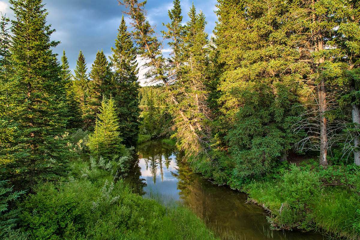
Anglers often stop here to try their hand fly-fishing for trout in the creek. Another side road leads to an equestrian campground. Besides these campgrounds, and a nearby Ranger Station, the West Block has no other visitor facilities, making it a favourite for anyone wanting more of a wilderness experience.
Fort Walsh and the Mountie Connection
Fort Walsh is only a few kilometres downstream along Battle Creek, but to get there we have to drive out of the valley and then back down again. However, we’re treated to even more stunning scenery along the way.
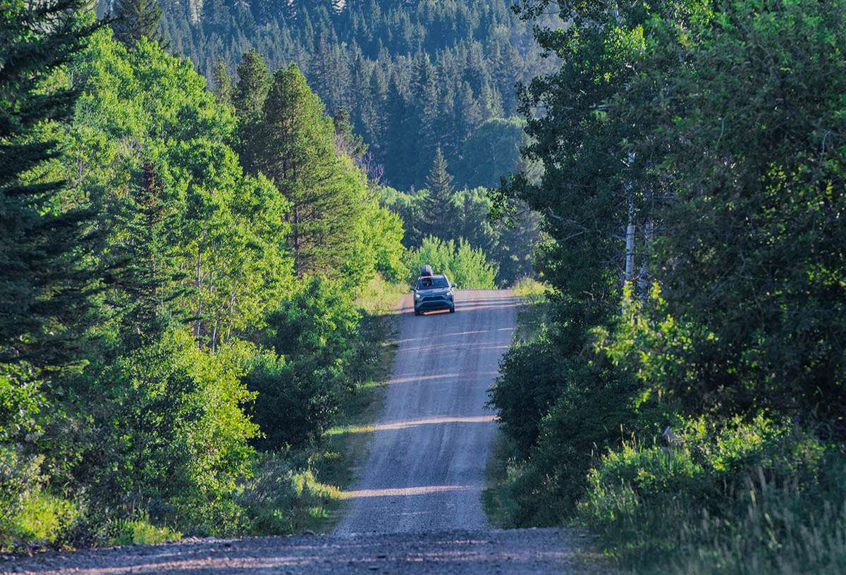
Just past the campgrounds and the Ranger Station, the route, now called Ranger Station Road, leaves the valley and climbs a long, steep hill to the plateau at the top before turning east toward Fort Walsh and the exit to the park. At the intersection at the top of the hill, it’s worthwhile taking a short detour to the Conglomerate Cliffs. This set you can drive to and the route is well marked.
Fort Walsh National Historic Site tells the story of an episode that changed the course of history. 1873, this was site of the Cypress Hills Massacre, which spawned the name Battle Creek. American wolf hunters and whiskey traders killed several Nakoda, whom they wrongly accused of stealing horses. When the news reached Ottawa, the government became concerned over increasing lawlessness and formed the North West Mounted Police (forerunners of today’s RCMP). Fort Walsh was established at the massacre site to provide law and order, and later became Mounted Police headquarters.
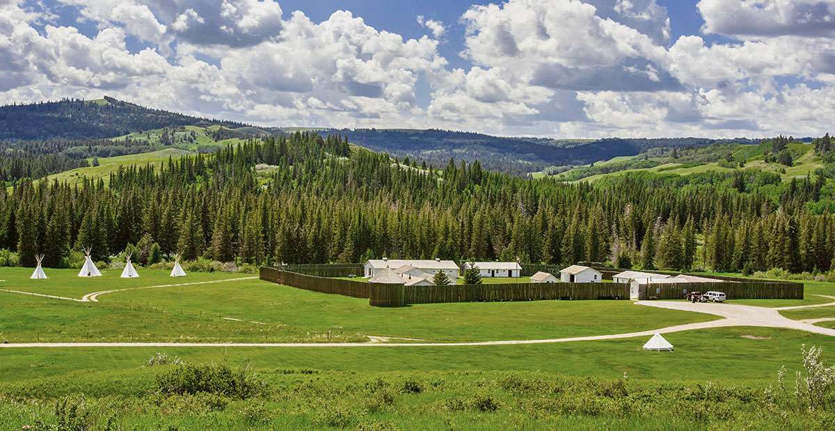
In the late 1870s, Inspector James Walsh was instrumental in keeping the peace with Chief Sitting Bull’s Sioux, who took refuge in southwest Saskatchewan after defeating the U.S. Cavalry in Montana. The fort was abandoned after Mountie headquarters moved to Regina in 1882, but served as a horse breeding and training centre for the RCMP Musical Ride from the 1940s to 1960s. Today it is a National Historic Site, where guides in period dress take visitors back in time.
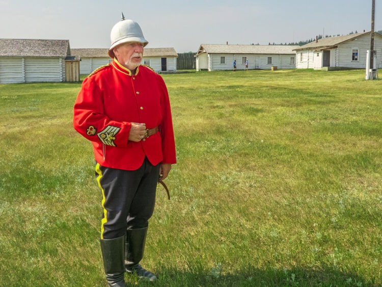
We look at Fort Walsh in more detail in this posting.
Access from Maple Creek
If you are travelling this route from east to west, the town of Maple Creek is a convenient starting point where hotels, motels, and guest houses are available, as well as other visitor facilities and attractions. Highway 271 runs southwest directly to the West Block of the park. Alternatively, take Highway 21 to the park’s Centre Block. From here, take the scenic Gap Road across pastureland to the West Block. However, this is a minor road that should only travelled in dry weather.
Resources and Further Reading
For more information on Cypress Hills Interprovincial Park, see www.visitcypresshills.ca and Tourism Saskatchewan.
See Parks Canada for further details on Fort Walsh.
SUBSCRIBE to Photojourneys below
Feel free to PIN this article on Battle Creek Road in Cypress Hills